Where Is Ohrid Located?
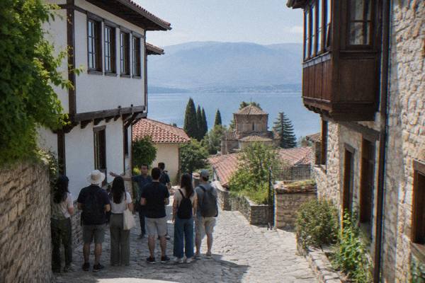
Where Ohrid sits on the map: a lakeside town in North Macedonia at about 693 m above sea level, with distances to Skopje, Tirana and the Albanian border.
Ohrid is a lakeside town in the southwest of North Macedonia, on the northern shore of Lake Ohrid, a freshwater mountain lake whose surface sits at about 693 m above sea level. The old town's lanes climb from the shore toward Samuel's Fortress on the hill above, and the whole region, lake, churches and old settlements together, is inscribed on the UNESCO World Heritage list as the "Natural and Cultural Heritage of the Ohrid Region", a mixed property added in 1979 and 1980 and extended to the Albanian side of the lake in 2019. This Ohrid Travel Guide page sets out exactly where the town sits, which country and currency zone it is in, and how far it is from the cities travellers usually arrive from.
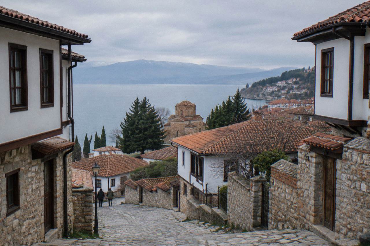
Ohrid is located in the southwest of North Macedonia, on the northern and eastern shore of Lake Ohrid, at coordinates 41.1172 degrees north and 20.8016 degrees east. That single sentence answers the question, but each part of it is worth unpacking. Ohrid is not a coastal town in any sense: it stands on an inland lake, one of the large freshwater lakes of the Balkan peninsula, ringed by mountains.
The lake itself is shared between North Macedonia and Albania, and the UNESCO inscription covers territory on both sides of the border, which is why the property was extended in 2019 to include the Albanian part of the lake basin. The geography matters for planning more than most destination pages admit. Because the town climbs from the water's edge to the fortress above, the old town's streets are walked rather than driven, and the lanes between the lake and the ramparts are the part of Ohrid that a first visit usually revolves around. The small-group old town walk covers exactly this ground, and the related question of whether Ohrid is worth visiting depends largely on how you feel about a town built on a hillside above a large lake.
What Country Is Ohrid In, And Is It In The EU?
Ohrid is in North Macedonia, a country in the central Balkans that is outside both the European Union and the Schengen Area. The local currency is the Macedonian denar, euros are commonly quoted for tours and transfers but are not legal tender, and visa-free nationals may stay up to 90 days in any 180-day period, with UK visitors allowed up to three months without a visa.
North Macedonia's position outside the EU and Schengen has practical consequences worth knowing before arrival. Border checks apply on entry from every neighbouring country, including Greece, Bulgaria, Albania, Kosovo and Serbia. Bulgaria and Romania became full Schengen members, land borders included, on 1 January 2025, but that change did not alter North Macedonia's own status: it remains outside the zone entirely.
The denar is pegged in practice to the euro, and cash machines in Ohrid dispense denars, but prices in shops and museums are denominated in MKD. The question of what currency is used in Ohrid covers the mechanics of money in more depth, and the entry rules, including the police-registration requirement that hotels handle for guests within 48 hours, are laid out on the page about visas for North Macedonia. Emergency numbers in the country are ambulance 194, police 192 and roadside assistance 196.
How Far Is Ohrid From Skopje, Tirana And Other Cities?
Ohrid is about 170 km by road from Skopje, a bus journey of roughly three hours, and there is no passenger train and no domestic flight between the two. From Tirana, minibuses take roughly three to three and a half hours including the border, and Ohrid's own airport sits about 10 km from the town centre, reached via the E65 road.
Those three arrival routes describe nearly every trip into Ohrid. The Skopje route is the most common overland approach, with several daily buses and a drive of about two and a half hours plus roughly 140 MKD in motorway tolls by car; the questions of how far Ohrid is from Skopje and how much the bus costs are answered in detail on their own pages. From the Albanian side, the main crossing used by Tirana services is at Qafe Thane near Struga, while the small Sveti Naum and Tushemisht crossing, reported to operate around the clock, sits about 4 km from the St Naum monastery.
| Route | Distance or figure | Source basis |
|---|---|---|
| Ohrid to Skopje | About 170 km by road | Road-distance figure |
| Skopje to Ohrid by bus | About 3 hours | Route schedule |
| Ohrid airport (OHD) to centre | About 10 km via the E65 | Airport access page |
| St Naum to Tushemisht border | About 4 km, about 10 minutes by car | Border-crossing report |
| Lake Ohrid surface level | About 693 m above sea level | Hydrological gauge |
| Lake Prespa level (Nakolec gauge) | 841.36 m, about 148 m above Lake Ohrid | Hydrological gauge |
One road project will change these figures in the near term. The Kicevo to Ohrid motorway, under construction since about 2014, is expected to open fully in the first half of 2027, with roughly 37 of its 57 km operational as of mid-2026. On the aviation side, the page on direct flights to Ohrid covers the seasonal route network; the airport handled 263,869 passengers in 2025, up 20 percent on 2024.
What Sits Around Ohrid: The Lake, Galicica And Albania?
Ohrid is ringed by Lake Ohrid to the south and west and by Galicica National Park on the ridge behind the town, a 22,750 hectare park declared in 1958 that runs between Lake Ohrid and Lake Prespa, whose surface at the Nakolec gauge reads 841.36 m, about 148 m higher than Lake Ohrid across the ridge.
Galicica is the defining landform of the region. Its highest peak, Magaro, stands at 2,254 m, and the park is open year-round, though heavy snow can close the main road across it, typically between January and March. The road is the usual way to reach Lake Prespa, the quieter of the two lakes, from Ohrid. Entry to the park by vehicle costs 250 MKD per car with no per-passenger charge, while someone entering on foot from the Ohrid-side gate pays 100 MKD.
The lake basin itself is the reason the UNESCO inscription exists. The World Heritage listing records that the lake has existed for about two to three million years and holds over 200 endemic species, including 17 endemic fish, and that Ohrid holds the oldest Slav monastery, St Panteleimon at Plaosnik, plus more than 800 Byzantine-style icons from the 11th to the end of the 14th century. In July 2026 the World Heritage Committee decided not to place the property on the List of World Heritage in Danger, instead asking the two states for a joint report by 1 February 2029.
Day trips define the wider geography. Struga sits on the lake's northern outflow, St Naum monastery stands at the springs end of the lake near the Albanian border, and Pogradec, Bitola and Tirana are all reachable as excursions rather than being part of Ohrid itself. A boat trip along the shore toward the Bay of Bones and St Naum is one way to see how the town relates to its lake.
What Is The Elevation And Climate Like In Ohrid?
Ohrid sits at an elevation where summer days are warm on the water and cooler on the heights above town, while winter brings snow to Ohrid and, more heavily, to Galicica. Modelled ERA5 reanalysis normals for 1991 to 2020 put July's mean daily high at 27.1 C and January's mean daily low at -0.8 C. Rain falls in every month, from 92.6 mm in December to 32.9 mm in August, making these values a planning baseline rather than a forecast.
The elevation shapes everything about the seasons. Summer days are warm on the water and cooler on the heights above town, and winter brings snow both to Ohrid and, more heavily, to Galicica. Rain is spread across the year, with the ERA5 normals showing December at 92.6 mm and August at 32.9 mm. These are modelled reanalysis values for the grid cell over the town, not a weather-station record, so treat them as a planning baseline rather than a forecast.
| Month | Mean daily high (C) | Mean daily low (C) | Rain (mm) |
|---|---|---|---|
| January | 5.0 | -0.8 | 76.5 |
| April | 14.6 | 6.3 | 82.4 |
| July | 27.1 | 18.3 | 34.7 |
| August | 27.6 | 19.0 | 32.9 |
| October | 17.4 | 10.3 | 76.0 |
| December | 6.2 | 0.9 | 92.6 |
The lake's own temperature follows a similar arc. Modelled aggregator values put the surface at about 4.6 C in January and about 23.5 C in August, with the multi-year UHMR October mean at 14.3 C, and the swimming season generally running from July. The page on swimming in Lake Ohrid goes into the water-quality record, which in 2026 found most bathing samples classed excellent, with one beach, Grashnica, rated Class III.
How Does Location Shape A Visit To Ohrid?
Because Ohrid sits on a hillside above a large lake, close to two borders and about 170 km from the capital, a visit is shaped by walking lanes, boat water and day-trip roads: the old town is explored on foot, the lake by boat, and St Naum, Struga and the Albanian shore by road or water, with the Albanian crossing at Tushemisht just 4 km from St Naum.
That structure is why the standard first day looks similar for nearly everyone: the lanes from the shore up past St Sophia and Plaosnik to Samuel's Fortress on foot, then the water. A guided option that ties the geography together is the old town walk; it can be checked via Check availability alongside the tours overview. The field guide to Ohrid and the page on where to stay in Ohrid pick up the neighbourhoods from there.
Location also sets the rhythm of the year. The 66th Ohrid Summer Festival opened on 12 July 2026 at the Ancient Theatre, a late Hellenistic venue first excavated in 1935, and the season the festivals fill, July and August, is the same season the lake is at its warmest. In the other direction, the resident-only parking regime introduced on old-town streets such as Ilindenska and Car Samoil in summer 2026 makes arriving without a car simpler than it already was: the town is compact, the bus station sits east of the centre, and the airport is a ten-kilometre hop.
Common Questions About Where Ohrid Is Located
Where Is Ohrid Located?
Ohrid is in the southwest of North Macedonia, on the northern shore of Lake Ohrid, at 41.1172 N, 20.8016 E.
Is Ohrid On The Sea?
No. Ohrid is an inland lake town. It stands on Lake Ohrid, a freshwater mountain lake whose surface sits at about 693 m above sea level, shared between North Macedonia and Albania.
Which Country Is Ohrid In?
North Macedonia. The country is outside the European Union and outside the Schengen Area, and the local currency is the Macedonian denar, which is pegged in practice to the euro.
How Far Is Ohrid From Skopje?
About 170 km by road, roughly three hours by bus and about two and a half hours by car, with motorway tolls of about 140 MKD. There is no passenger train and no domestic flight between the two cities.
How Close Is Ohrid To Albania?
The Albanian border is very close on the lake's south end: the Sveti Naum and Tushemisht crossing sits about 4 km from the St Naum monastery, reported to operate around the clock, and Tirana is roughly three to three and a half hours away by minibus including the border.
The Galicica ridge behind the town rises well above both, to Magaro peak at 2,254 m.