How Deep Is Lake Ohrid?
How deep Lake Ohrid really is, why the answer changes with where you measure, and what the lake's depth means for swimming, diving and boat trips from Ohrid in North Macedonia.
Lake Ohrid fills a deep mountain basin shared between North Macedonia and Albania, and the question of its depth has no single tidy answer: the water at the swimming beaches around Ohrid is shallow enough to stand in, while the middle of the lake plunges far below anything a wader will ever touch. The depth changes continuously from shore to centre, which is why two honest sources can quote two honest figures and still disagree. This page, from Ohrid Travel Guide, sets out what the depth actually means in practice: for swimming, for diving, for the boats that cross to St Naum, and for the cold, stable water that makes the lake what it is.
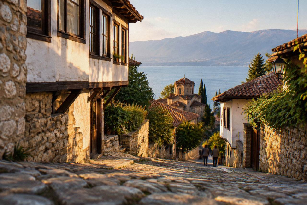
The honest answer is that there is no one depth, because Lake Ohrid is a deep freshwater basin whose floor slopes steeply away from the shore: knee-deep water at the beaches around Ohrid gives way, well out from land, to a lakebed that lies hundreds of metres below the surface in the deepest part of the basin.
That single sentence is the whole shape of the thing. A swimmer stepping off the pebbles at the town beach is in shallow water within seconds; a boat twenty minutes out is floating over a drop that no swimmer will ever reach. The depth is the reason the lake stores cold water through the summer, the reason its shores warm quickly while its centre does not, and the reason so much of its wildlife lives nowhere else.
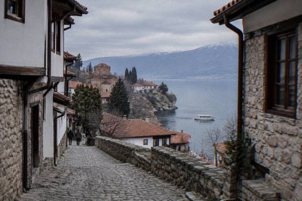
The lake's setting frames the scale. Ohrid's old town stands at the water's edge below the ridge of Galicica National Park, the protected area of 22,750 hectares that separates Lake Ohrid from Lake Prespa, with Magaro peak at 2,254 m. The mountains do not stop at the shoreline. They continue below the water, and the lake floor between them is the drowned lower half of the same landscape. The whole region is inscribed by UNESCO as the mixed World Heritage property "Natural and Cultural Heritage of the Ohrid Region", covering about 94,729 hectares and recognised in two stages, 1979 for nature and 1980 for culture, before the property was extended to the Albanian side in 2019.
For planning a trip, the practical answer is simpler: anywhere you can walk in from an Ohrid beach is shallow, and anything beyond the swimming markers is deep water. The depth is not a hazard for a normal beach day, but it matters enormously for anyone diving, boating or wondering why the water stays cool in July.
Why The Depth Of Lake Ohrid Varies So Much
Depth in Lake Ohrid varies because the lake occupies a tectonic basin between mountains: the floor shelves gently near the shore at Ohrid, Struga, Peshtani and Trpejca, then falls away towards the deep central channel, so the same lake offers paddling depth at one point and water far deeper than any part of the shoreline within a short boat ride of land, with the deepest ground lying closer to the lake's middle and northwest than to the Macedonian old town.
The gradient is what surprises visitors. On the eastern shore, where Ohrid's beaches and the bays towards Gradiste and Lagadin sit, the water warms fast because there is comparatively little of it to heat. Further out, the volume of cold deep water acts as a reservoir that barely moves between June and August. UNESCO's listing for the region records more than 200 endemic species in the lake, including 17 endemic fish, a level of endemic life that deep, old, stable basins support and shallow shifting waters do not. Depth is not a trivia fact here; it is the engine of the lake's ecology.
The Crn Drim springs at St Naum, at the far southern end near the Albanian border, show the other face of the basin. Water rises there from the underground system that links the wider mountain massif to the lake, and visitors reach the springs by rowboat, with a boat ride priced at about 5 EUR by the local operator's listing. The springs sit in shallow, vividly clear water at the mouth of a lake whose centre lies far below anything visible from a rowboat.
What The Depth Means For Swimming In Ohrid
For swimming, the depth of Lake Ohrid is mostly a comfort factor: the shallows along the Ohrid town beach, at Gradiste, Lagadin, Ljubanista, Potpesh and Labino warm quickly and stay standable for a long way out, while the deep water beyond them stays noticeably colder even in August, so where you swim matters more than when, and the safe rule is simple, stay inside the marked bathing areas and treat everything past them as deep, cold lake water.
To enjoy the shallows from a different angle, book a SUP rental here.
The water temperature curve tells the story. Modelled aggregator values for the lake surface put January at about 4.6 C and July at about 22.9 C, with August at about 23.5 C at the surface; the UHMR multi-year October mean, the one figure from the hydrological service, is 14.3 C. Those are surface numbers. The deep basin below does not follow them. A swimmer who stays in the shallows feels August warmth; a swimmer past the drop feels the lake's other temperature within a few strokes.
The swimming season follows the surface. Water generally reaches comfortable temperatures from July and holds through September, which is why the beaches fill in those months and why August is the busy one. Depth shapes that season too: shallow bays gain heat first in June, while the deep centre keeps feeding cool water toward every shore all summer.
If you are building a trip around the water, the practical pieces are covered in dedicated pages: whether you can swim in Lake Ohrid, when to visit the lake, and the fuller guide to Lake Ohrid. For a first day that mixes the shoreline with the town above it, the one-day Ohrid itinerary puts the beaches and the old town in one walkable order.
| Month | Modelled Surface Temperature (C) | What It Means For Swimmers |
|---|---|---|
| Jan | about 4.6 | No swimming; cold even near shore |
| Mar | about 7.2 | Cold; shore walks only |
| May | about 14.9 to 18.7 | Brisk; shallow bays first |
| Jul | about 22.9 | Comfortable; season in full swing |
| Aug | about 23.5 | The swimming month; shallows warmest |
| Oct | about 14.7 (UHMR multi-year mean 14.3) | Short swims only, and not in deep water |
Diving And Boating On A Deep Mountain Lake
Depth defines diving and boating on Lake Ohrid: try-dives and scuba experiences operate from the Ohrid shore and around the Bay of Bones at Peshtani, while boat trips to St Naum cross the deep channel that makes the crossing feel like a sea passage. The Bay of Bones boat trips combine the museum, the monastery and a swim stop in the shallows, not the deep lake.
The roster of bookable products shows how the lake is used. Scuba diving experiences run as full-day products from Ohrid, and a separate try-diving product operates at the Bay of Bones, the reconstructed pile-dwelling museum on the water at Gradiste near Peshtani, whose museum entrance is 150 MKD for foreign visitors and 120 MKD for domestic visitors, closed Mondays, open 09:00 to 16:30 in the summer schedule that runs from 1 May to 30 September. Kayak and stand-up paddleboard tours hug the shore, where the water is shallow and clear; the wine-tasting cruise and the panoramic old-town boat tours stay close to the cliffs below the old town.
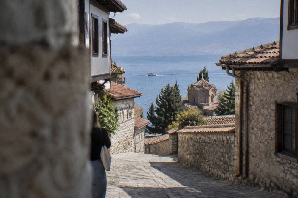
Boats to St Naum typically run from about May to October and drop to a reduced winter schedule. The Bay of Bones boat trip products that combine the museum, the monastery and a swim stop spend a full day on the water, and the swim stop, as every such listing notes, is in the shallows, not the deep lake. More on the crossings is in Lake Ohrid boats and ferries and in what lives in Lake Ohrid, where the endemic life of the deep basin is the subject.
For a first overview of the town itself, the small-group city tour of the old town is the natural pairing with a lake day; it covers the streets above the shore, and Check availability before committing a day, since the lake products and the walk fill the same calendar slots in August.
How Lake Ohrid Compares With Lake Prespa
Lake Ohrid sits in a class of its own in this corner of the Balkans because it is the deep one: its neighbour Lake Prespa, over the Galicica ridge, is a much shallower high plateau lake, and Galicica National Park, 22,750 hectares between the two lakes with Magaro peak at 2,254 m, exists precisely because the land rises between two very different bodies of water, Prespa above and the deep Ohrid basin below.
The two-lakes contrast is the clearest way to picture Ohrid's depth. Prespa warms and cools like a shallow pan; Ohrid, with its great mass of deep water, holds its temperature through the seasons and never freezes over in the way a shallow lake at this altitude would. The Galicica road between the lakes, open year-round with heavy snow possible typically from January to March, and the park's vehicle fee of 250 MKD per car with no per-passenger charge, make the ridge itself a day trip; the Lake Prespa day trip page covers the practical side. The park's entry fee is 100 MKD only for someone arriving on foot through the Ohrid-side gate.
The ridge also explains the springs at St Naum, where water that has moved through the mountain system rises into the shallow southern end of the deep lake. Between the two lakes, the endemic life recorded by UNESCO, more than 200 species including 17 endemic fish, belongs overwhelmingly to the deep basin, not the plateau.
Planning Around The Lake In Every Season
Depth shapes the Ohrid year: summer belongs to the shallow beaches and the boat crossings, while the deep water keeps the lake drawn to its shorelines through winter, when boats to St Naum reduce to a minimum, the museum sites switch to their winter schedule from 1 October to 30 April with shorter hours and a Monday closure, and the town turns into a quiet base under the fortress with cold, still water below.
The rhythm is predictable even where the depth is not. June through September is the season, August the peak, and the lake surface at its modelled August average of about 23.5 C is as warm as it gets. From October the surface cools toward the October mean of 14.3 C and the November figure of about 10.3 C, the boat calendar thins out, and the Bay of Bones and the other museum-institute sites run the winter timetable, 09:00 to 15:30 at the Bay of Bones and Robev Family House, 09:00 to 14:00 at the Icon Gallery, all closed Mondays, with the institute's tickets at 150 den foreign, 120 den domestic and 60 den for children and students. Prices and hours sit on the institute's own pages, and winter visitors should expect the short end of the day.
Off-season Ohrid is not a dead town. The 66th Ohrid Summer Festival ran from 12 July to 20 August 2026, the Balkan Festival of Folk Songs and Dances held its 65th edition from 3 to 6 July 2026, and the Struga Poetry Evenings ran its 65th edition from 24 to 29 June 2026 in nearby Struga; 2027 dates for the summer festivals had not been announced. Winter has its own calendar, with Orthodox Christmas on 7 January and the Vodici cross-throwing in the lake on 19 January. For the fuller picture, see is Ohrid worth visiting in winter in the swimming page's companion questions, and the Ohrid weather guide for the modelled monthly normals, which show December at a mean daily high of 6.2 C against August at 27.6 C.
Common Questions About Lake Ohrid Depth
How Deep Is Lake Ohrid?
There is no single figure that answers this honestly, because the depth varies continuously: the beaches around Ohrid are shallow and standable, and the middle of the lake reaches a deep basin far below anything a swimmer touches. Treat the shoreline as shallow and everything past the bathing markers as deep, cold water.
Can You Swim Out To The Deep Part Of Lake Ohrid?
Swimming happens in the shallows at the beaches, where the modelled surface temperature reaches about 23.5 C in August. Past the marked areas the lake is deep and noticeably colder, and the swim season runs from about July to September at the surface.
Does Lake Ohrid Ever Freeze?
The winter surface temperature is modelled at about 4.6 C in January, and the great volume of deep water buffers the lake against freezing the way a shallow lake at this altitude would. The shores get cold, the centre stays liquid.
Why Is The Water So Clear In Lake Ohrid?
The lake is a deep mountain basin fed in part by springs, including the Crn Drim springs at St Naum, and its stable cold deep water supports the more than 200 endemic species UNESCO records for the lake, including 17 endemic fish. Clarity is a property of that deep, stable system.
Is Lake Ohrid Deeper Than Lake Prespa?
Yes, by a wide margin. Prespa is a high plateau lake over the Galicica ridge, shallow by comparison, while Ohrid fills a deep basin between the mountains. Galicica National Park, 22,750 hectares between the two lakes, exists because of that divide.
The depth of Lake Ohrid is not a number to memorise; it is the reason the lake has cold springs at one end, warm swimming bays at the other, endemic fish in the middle and a boat crossing that feels like open water. Plan around the shallow shore for swimming, respect everything past the markers, and the lake will behave exactly as its basin says it should.