Galičica National Park: Ridge Road, Viewpoints And Hiking
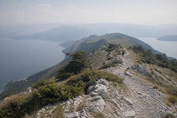
Galicica National Park fills the ridge between Lake Ohrid and Lake Prespa above Ohrid, and one road crosses it, giving views of two lakes from the same pass.
Short answer
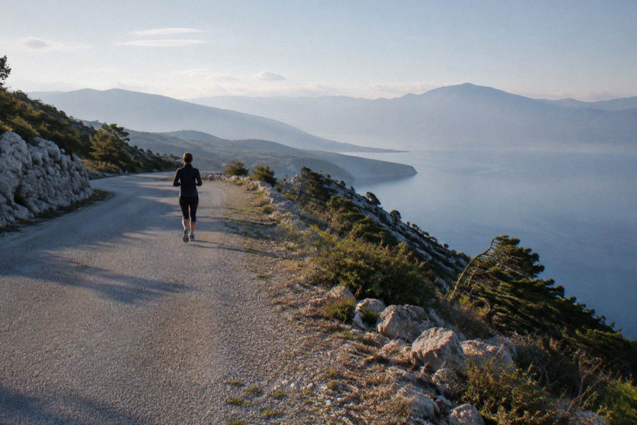
Galicica National Park is North Macedonia's second national park, proclaimed in 1958, covering about 22,750 hectares between Lake Ohrid and Lake Prespa, with Magaro peak at 2,254 m. The ridge road from Ohrid toward Lake Prespa is the park's main draw, open year-round, though heavy snow can close it in winter.
Galicica National Park sits directly above Ohrid, filling the mountain ridge that separates Lake Ohrid from Lake Prespa. It is North Macedonia's second national park, proclaimed in 1958, and it covers about 22,750 hectares, with Magaro as its highest peak at 2,254 m. One road climbs from the Ohrid side of the ridge and crosses toward Lake Prespa, and along it the two lakes appear on opposite slopes, Lake Prespa sitting roughly 148 m higher than Lake Ohrid, which itself lies at about 693 m above sea level. This page on the Ohrid Travel Guide covers the road, the viewpoints, the hiking and the tours that reach the park from town.
What Is Galicica National Park And Where Does It Sit?
Galicica National Park is the protected mountain area between Lake Ohrid and Lake Prespa, proclaimed in 1958 as North Macedonia's second national park, covering about 22,750 hectares, with its highest peak Magaro at 2,254 m. The park lies immediately east and south of Ohrid, and its ridge separates the two lakes, with Lake Prespa sitting roughly 148 m above Lake Ohrid.
The park exists because of that double lakeshore. The whole region around both lakes belongs to the UNESCO mixed site "Natural and Cultural Heritage of the Ohrid Region", inscribed in 1979 and 1980 and extended to the Albanian side in 2019.
For a day trip from Ohrid the practical point is simple: the park starts at the edge of town. The climb from the lake toward the ridge begins on the Ohrid side, and the main road over the ridge continues down toward Lake Prespa and the village of Nakolec. The park is open year-round, and the park's own website runs a live camera page that shows conditions on the ridge.
Two neighbouring guides cover the two lakes separately: Lake Prespa on a day trip from Ohrid for the far side of the ridge, and the wider hiking guide for Ohrid and the surroundings for routes beyond the park.
How Do You Drive The Ridge Road Between Lake Ohrid And Lake Prespa?
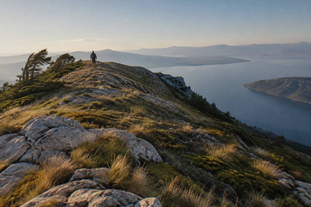
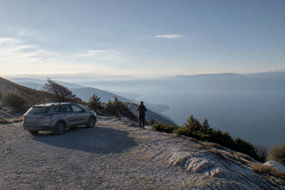
The ridge road runs from the Ohrid side up over the Galicica ridge and down toward Lake Prespa, and it is the park's single crossing, open year-round, with heavy snow reported to close the main road in winter, typically between January and March. There is no scheduled public transport over the ridge, so the road is driven by car, taxi or an organised tour.
The drive is the park's main attraction and its structure is straightforward: one climb from the Ohrid side, a pass along the ridge, and a descent toward the Prespa shoreline. Along the ridge the road passes open mountain ground above the tree line, and stops along it give the two-lake views. Reports on the park describe the road as open year-round with winter closures possible when snow sits on the ridge, normally in the January to March window, so a winter visit should check conditions on the park's camera page before setting out.
Two practical cautions from the Ohrid side. First, the climb starts from the old town's immediate surroundings, where a resident-only parking regime applies on streets including Ilindenska, Kosta Abrash and Car Samoil from summer 2026, with clamping reported for non-residents, so a car is best picked up or parked outside that zone. Second, driving rules in North Macedonia require headlights on day and night, and a green card should be carried for insurance; tolls on the motorway network are paid at each plaza, and no vignette system applies.
For anyone without a car, the realistic options are a taxi arranged in Ohrid, or one of the tours that cross the park. The full-day ATV adventure crosses the national park from Ohrid over a day on the ridge and the tracks around it, and the Check availability link shows the operator's live listing.
Fancy crossing the ridge by jeep instead of hiking it? Book a Galicica jeep safari here.
What Can You See From The Galicica Viewpoints Near Ohrid?
The viewpoints along the Galicica ridge show Lake Ohrid on one slope and Lake Prespa on the other, often from the same stop, because the ridge separates the two lakes with Lake Prespa sitting roughly 148 m higher than Lake Ohrid. The road's pull-offs are the access points, and the two-lake view is the single sight the ridge is known for.
The classic description of the ridge is that it is one of the few places where two large lakes appear on opposite sides of the same mountain. From the ridge road the Ohrid side shows the town, the lake basin and, on clear days, the far shoreline; the Prespa side shows a smaller and higher lake with a different shoreline character around Nakolec and the villages. No ranking of individual viewpoints is published, so the working method is to stop where the road widens and walk a short distance along the ridge.
What the ridge also gives is the geological story in one view. Lake Ohrid's basin has existed for about two to three million years, per UNESCO's own listing, and holds over 200 endemic species including 17 endemic fish, which is why the lake's inscription is a mixed natural and cultural one.
A viewpoint stop pairs naturally with a descent to the Prespa shore, covered in detail in the Lake Prespa day trip guide, or with a return over the ridge toward St Naum at the lake's southern end, which lies close to the Albanian border crossing at Tushemisht.
What Hiking Trails Cross Galicica National Park From Ohrid?
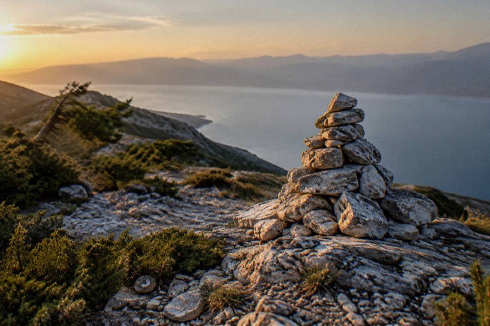
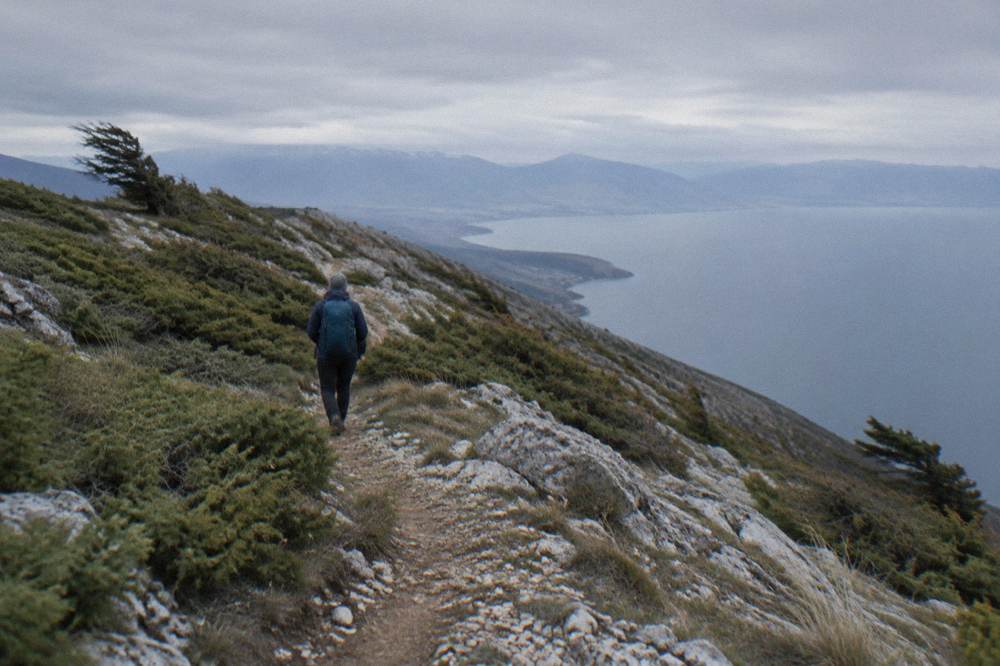
Hiking in Galicica runs from short ridge walks to the guided Two Lakes trail in the national park, and the guided option from Ohrid covers the ridge between Lake Ohrid and Lake Prespa with transport and a guide in one package. Independent walking is possible on the ridge around the road and the marked paths, with the same winter snow caveat as the road itself.
The flagship guided route is the Two Lakes hiking trail in National Park Galicica, a guided walk from Ohrid whose card prints its duration and price. The trail's premise is the park's own geography: the route works the ground between the two lake basins, so the walk moves through the open ridge terrain that the road only crosses. Booking it through the link below shows the operator's live listing with dates and inclusions.
Beyond that route, the park's walking offer divides into the ridge ground near the road, reachable on foot from the higher pull-offs, and longer routes toward Magaro, the 2,254 m peak, which need a full day and route-finding on ground the park reports as high open mountain. Anyone hiking independently should treat the winter months cautiously, since snow sits on the ridge when the road itself can close, typically January to March.
The wider walking offer around Ohrid, including the town-side trails and the lakeshore paths, is collected in the Ohrid hiking guide, and hikers staying several days can slot a Galicica day into a three-day Ohrid itinerary without giving up town time.
When Is The Best Time Of Year For Galicica From Ohrid?
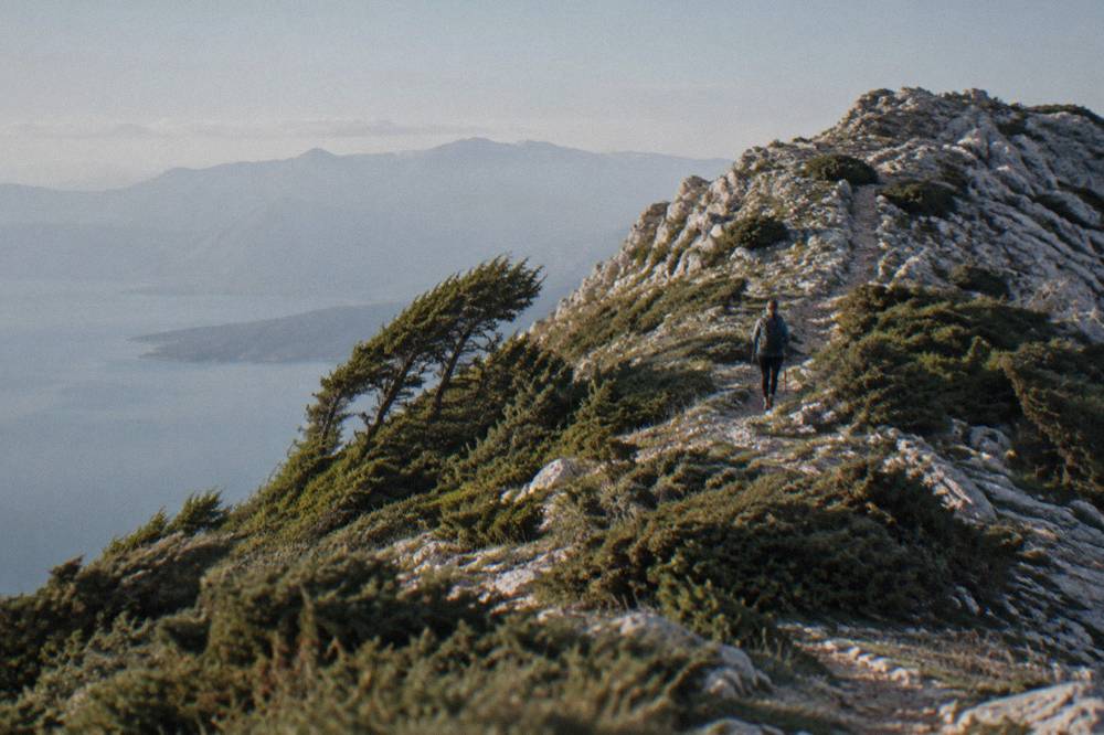
The ridge road and the Galicica hiking season run mainly from late spring to early autumn, with the modelled climate normals showing July and August as the warmest months on the Ohrid grid cell, about 27.1 and 27.6 C mean daily highs, and January the coolest at a 5.0 C mean high, when heavy snow can close the ridge road, typically January to March.
The figures below are modelled ERA5 reanalysis climate normals for 1991 to 2020 for the grid cell at Ohrid, not a weather-station record, and the ridge itself runs higher than the town, so subtract a few degrees for the pass. What the table shows is the practical shape of the year: rain sits fairly evenly outside midsummer, with November and December the two months above 90 mm, while July and August sit at 34.7 and 32.9 mm, and the summer months carry the warmest days.
| Month | Mean daily high | Mean daily low | Rain mm |
|---|---|---|---|
| Jan | 5.0 C | -0.8 C | 76.5 |
| Feb | 6.3 C | 0.0 C | 74.3 |
| Mar | 10.0 C | 2.5 C | 80.5 |
| Apr | 14.6 C | 6.3 C | 82.4 |
| May | 19.5 C | 10.8 C | 70.8 |
| Jun | 24.2 C | 15.2 C | 43.1 |
| Jul | 27.1 C | 18.3 C | 34.7 |
| Aug | 27.6 C | 19.0 C | 32.9 |
| Sep | 22.4 C | 14.9 C | 62.4 |
| Oct | 17.4 C | 10.3 C | 76.0 |
| Nov | 11.5 C | 5.3 C | 90.4 |
| Dec | 6.2 C | 0.9 C | 92.6 |
Two seasonal notes sharpen the choice. August is the busiest month in Ohrid, with the peak season running June to September and the boats to St Naum operating about May to October on a reduced winter schedule. And in summer 2026 the government set lake navigation limits for swimmer safety: jet skis were banned on the lake from 1 July to 31 August between 11:00 and 19:00, and boats were restricted at night through the summer into early autumn. Those limits concern the lake rather than the ridge, but they shape a combined day that mixes the park with a swim or a cruise, and a fuller month-by-month picture is in the Ohrid weather guide.
What Tours And Activities Run Inside Galicica Near Ohrid?
The bookable activities that reach Galicica from Ohrid are the ATV full-day adventure through the national park, the jeep safari in the park, and guided hiking led by the Two Lakes trail, while paragliding, SUP, kayaking and scuba diving operate over Lake Ohrid itself, and boat cruises run from Ohrid port toward St Naum and the Bay of Bones.
The ATV adventure is the direct way onto the ridge: it is a full-day product from Ohrid whose price, rating and duration render on its card below, and it crosses the national park's tracks rather than only the paved road. The jeep safari covers the same park from a vehicle with a driver. Hiking is the third leg, with the Two Lakes trail as the guided route. On the lake side, the SUP and kayak products paddle the Ohrid shoreline below the ridge, the paragliding flights launch from the heights above town, and the scuba experiences dive the lake, including at the Bay of Bones.
The comparison below groups the park and lake options by what they actually cover, with prices, ratings and durations left to the live listings rather than typed here.
| Activity | Where it runs | What it covers | How it reaches Galicica |
|---|---|---|---|
| ATV full-day adventure | Galicica National Park | Tracks and ridge ground across the park in a day | Directly, from Ohrid |
| Jeep safari | Galicica National Park | Park routes by vehicle with a driver | Directly, from Ohrid |
| Two Lakes hiking trail | Galicica National Park | Guided walking between the two lake basins | Directly, from Ohrid |
| SUP tours and rental | Lake Ohrid | Paddleboarding along the Ohrid shoreline | Views toward the ridge from the water |
| Paragliding flights | Above Ohrid | Tandem flights over the town and lake | Airborne view of the ridge and lake |
| Scuba diving | Lake Ohrid | Dives including the Bay of Bones | Lake only |
| Boat cruises | Lake Ohrid | Cruises from Ohrid port toward St Naum | Lake only |
A fuller catalogue of the town-based options sits in the Ohrid walking tour guide and the Ohrid boat tour guide.
How Do You Plan A Galicica Day Trip From Ohrid?
A Galicica day trip from Ohrid works as a half-day ridge drive with viewpoint stops, or a full day combining the ridge road with a descent to Lake Prespa and a return via St Naum on the lake's southern shore, and it needs either a car, an arranged taxi or a booked tour, because no scheduled public transport crosses the ridge.
The simplest plan is the morning ridge run: climb from Ohrid, stop along the pass for the two-lake views, and return for an afternoon in town or on the water. The full-day version continues over the ridge to the Prespa shore at Nakolec, returns across the park, and finishes at St Naum near the Albanian border, where the monastery's rowboats take visitors through the Crn Drim springs for about 5 EUR per person, and where the border crossing at Tushemisht lies about 4 km away.
| Day trip option | Direction from Ohrid | Main sight | Best paired with |
|---|---|---|---|
| Galicica ridge road | East, up from town | Two-lake views from the pass | A Prespa shore stop |
| Lake Prespa shore | Over the ridge, down | Nakolec and the higher lake | The ridge road |
| St Naum | South along the lake | Monastery and Crn Drim springs | A boat cruise back |
| Struga | North along the lake | The Black Drim source town | A morning on the ridge |
| Mavrovo National Park | Far north-east | North Macedonia's largest national park | An overnight, not a same-day add-on |
Two practicalities close the plan. Distances beyond the immediate ridge are long: Skopje is about 170 km by road, so the capital is covered separately in the Skopje day trip guide, and Mavrovo, the country's larger national park, is a full excursion of its own in the Mavrovo guide. And the border at Sveti Naum / Tushemisht is reported to be open around the clock for passenger vehicles and pedestrians, with walks between the posts possible, so a two-country day can be built from the St Naum end of the lake, a pairing expanded in the Struga day trip guide.
What Should You Pack And Know Before The Ridge Road From Ohrid?
A Galicica day needs layers, sun protection and more water than the town temperature suggests, because the ridge sits well above Ohrid's lakeside elevation and the modelled normals show mean daily highs of only about 5.0 C in January against 27.6 C in August, while the summer months carry the lowest rainfall of the year at 34.7 and 32.9 mm for July and August.
The temperature gap is the point that surprises visitors. Ohrid sits at the lake, at about 693 m above sea level, and the ridge road climbs high above it toward Magaro at 2,254 m, so the pass can be cold and windy on a day when the waterfront is warm. Layers solve this, and closed shoes matter for anyone stepping off the road onto the paths, where the ground is open mountain terrain with rock and low shrub.
Two further facts finish the preparation. Emergency numbers in North Macedonia are ambulance 194, police 192 and roadside assistance 196. And the lake below the ridge holds 2026 bathing results: the Institute of Public Health's May to June tests found Class I physico-chemical quality at the bathing sites except Grashnica beach, which measured Class III, with most microbiological samples rated excellent, so a swim after the ridge is a reasonable plan at the monitored spots. Water temperatures on the lake are modelled aggregator values, about 22.9 C in July and 23.5 C in August, with the October mean at 14.3 C from the multi-year record.
| Item | Why it matters on the ridge |
|---|---|
| Layers and a windproof | The pass is high and exposed above the lakeshore |
| Closed walking shoes | Ridge paths are rocky with low vegetation |
| Water and food | No services described along the ridge itself |
| Sun protection | High altitude and open ground, especially June to August |
| Headlights on | Required day and night when driving in North Macedonia |
| Cash in denar | Local costs are paid in MKD, euros are not legal tender |
Common Questions About Galicica National Park From Ohrid
How far is Galicica National Park from Ohrid?
The park begins at the edge of Ohrid: the ridge between Lake Ohrid and Lake Prespa rises directly above the town, and the road over it climbs from the Ohrid side before descending toward the Prespa shore at Nakolec.
Can you see both Lake Ohrid and Lake Prespa from Galicica?
Yes. The ridge separates the two lakes, with Lake Prespa sitting roughly 148 m above Lake Ohrid, and stops along the ridge road give views across both basins.
Is the Galicica ridge road open in winter?
The park and its road are described as open year-round, with heavy snow reported to close the main road in winter, typically between January and March. The park's live camera page shows current ridge conditions.
What is the highest peak in Galicica National Park?
Magaro, at 2,254 m, is the park's highest peak. The park itself covers about 22,750 hectares and was proclaimed in 1958 as North Macedonia's second national park.
Do you need a guide to hike in Galicica?
Independent walking is possible on the ridge ground near the road, but the guided Two Lakes hiking trail from Ohrid comes with transport and a guide, and longer routes toward Magaro need a full day and route-finding on high open mountain terrain.
Can you combine Galicica with Lake Prespa in one day from Ohrid?
Yes. The ridge road runs from the Ohrid side over the pass and down toward the Prespa shore, so a single day can cover the viewpoints and a Prespa stop, and the Lake Prespa day trip guide lays out the full route.
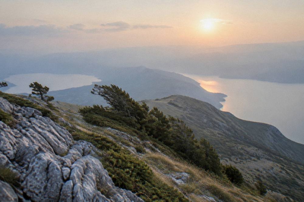
The ridge between two lakes is Ohrid's biggest single landscape, and a day on it, by road, on foot or on an ATV, gives the view that defines the region: the old lake below town on one side and the higher Prespa basin on the other, all inside one national park that starts where the town ends.