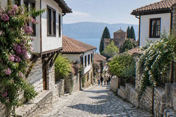
What Does Ohrid Mean?
What Does Ohrid Mean? A clear answer to the name of Ohrid, the old town on Lake Ohrid in North Macedonia, and what the word covers today.
Ohrid is a name that does double duty in North Macedonia: it labels a small old town on the north-eastern shore of a freshwater mountain lake, and it labels the lake itself. The town is the heart of the UNESCO mixed World Heritage site "Natural and Cultural Heritage of the Ohrid Region", inscribed in 1979 for its natural values and in 1980 for its cultural ones, and extended to the Albanian part of the lake basin in 2019. This Ohrid Travel Guide page unpacks what the name points to, how old the settlement behind it is, and how the town, the lake and the heritage site fit under one word. For the practical side, the things to do in Ohrid page covers the sightseeing list, and what Ohrid is famous for covers the claims to fame.
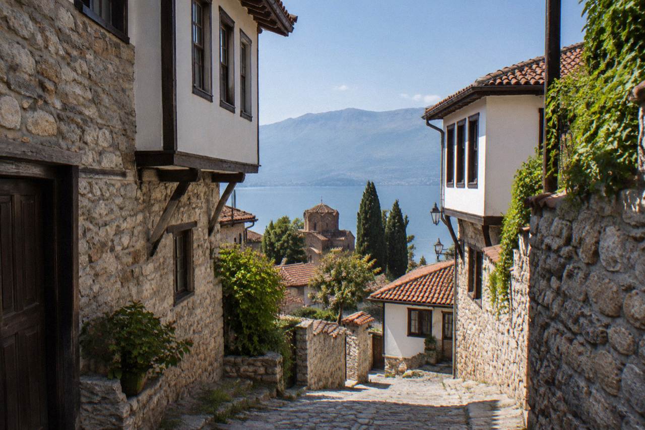
Ohrid is the name of a town in North Macedonia, on the shore of Lake Ohrid, and it is also the name of the lake itself, so the word labels a settlement and the body of water beside it at once. The town carries the older weight of the name, sitting inside a UNESCO World Heritage site recognised for both nature and culture, while the lake spreads across the border into Albania.
That doubling is the short practical answer. When a bus timetable, a tour listing or a weather forecast says Ohrid, it almost always means the town; when a swimming or fishing context says Lake Ohrid, it means the water. The two are inseparable in practice, because the old town climbs from the lakeshore up towards Samuel's Fortress, and the lake sits at about 693 m above sea level, with the Prespa lake basin lying about 148 m higher on the far side of the Galicica ridge. The name also travels further than the town itself: the municipality of Ohrid counted 51,428 residents at the 2021 census, and the region's heritage designation, the "Natural and Cultural Heritage of the Ohrid Region", covers a mixed property of roughly 94,729 ha shared between North Macedonia and Albania.
A name this heavily used raises questions about origins, and honest answers have to stay close to what published sources state. The UNESCO listing documents the outstanding values of the region, the monastery tradition and the icon collection, but it does not function as an etymological dictionary.
Where Is Ohrid And What Does The Name Cover?
Ohrid sits on Lake Ohrid in the south-west of North Macedonia, close to the Albanian border, about 170 km by road from the capital Skopje, and the name covers three nested things: the old town, the wider municipality around it, and the lake shared with Albania. The old town is the part visitors mean when they say Ohrid.
The old town is compact and on foot. Its lanes run from the water's edge up the slope to the fortress, past the Ancient Theatre, the Old Bazaar, St Sophia, Plaosnik and the Church of St John at Kaneo. Beyond the town, the name stretches along the shore to villages such as Lagadin and Peshtani, out to the Bay of Bones museum at Gradishte, and down the eastern shore towards Trpejca and Ljubanista before the road reaches St Naum near the border. Struga, at the north end of the lake where the Black Drim flows out, is a separate town with its own name and identity, covered on the Struga town guide.
Curious to trace those layers on foot yourself? Book an audio walking tour here.
Getting there is straightforward for a place that feels remote. Ohrid's own airport, St Paul the Apostle, is about 10 km from the centre; buses from Skopje take about three hours; and minibuses from Tirana cross at the Qafe Thane border in roughly three to three and a half hours. The pages on where Ohrid is located and how far Ohrid is from Skopje carry the details.
How Old Is The Settlement Behind The Name?
The name Ohrid attaches to one of the longer-settled spots in the Balkans: the Ancient Theatre in the town was built at the end of the third or the start of the second century BC, the lake beside it has existed for about two to three million years, and UNESCO records that Ohrid holds the oldest Slav monastery, St Panteleimon at Plaosnik. The theatre's first excavations came in 1935, and its capacity rose to 5,000 after a later addition.
Those dates come from the museum institute's own pages and from the UNESCO listing, and they frame the name differently than a foundation year would. There is no single founding date in the published record; there is instead a stack of layers, Hellenistic, Byzantine and Slavonic, each documented by its own sources. The Byzantine layer is the one the world heritage citation leans on: UNESCO records more than 800 Byzantine-style icons from the eleventh to the end of the fourteenth century held in Ohrid, and the monastery of St Panteleimon at Plaosnik as the oldest Slav monastery. The how old Ohrid is page works through the same layers in more detail.
The lake adds a dimension no town name usually carries. At two to three million years old, Lake Ohrid predates every human settlement on its shore by an almost unimaginable margin, and it is the reason the UNESCO property is a mixed one: nature and culture in a single inscription. The lake also holds over 200 endemic species, including 17 endemic fish, which is why the natural citation exists alongside the cultural one.
|---|---|---| | Lake Ohrid | About two to three million years old | UNESCO listing for the Ohrid Region | | Ancient Theatre | Built at the end of the third or the start of the second century BC; excavated from 1935 | NI Institute and Museum Ohrid | | St Panteleimon at Plaosnik | The oldest Slav monastery | UNESCO listing | | Icon collection | More than 800 icons, eleventh to end of fourteenth century | UNESCO listing | | World Heritage site | Inscribed 1979 (natural) and 1980 (cultural); extended 2019 | UNESCO World Heritage List |
The best way to feel those layers under one name is to walk them, and a guided walk with stops at the theatre, the churches and the fortress does exactly that. The Old Town Walking Tour covers the old town end to end.
What Does The Ohrid Name Include Today?
In everyday use the name Ohrid now covers the old town, the wider municipality of 51,428 residents, the lake, a national park on the ridge above it, and a World Heritage property shared with Albania, so the answer depends on who is speaking: a timetable means the town, a biologist means the lake, a planner means the protected region.
Galicica National Park, North Macedonia's second national park, proclaimed in 1958, spans 22,750 ha between Lake Ohrid and Lake Prespa, with Magaro peak at 2,254 m. It carries the name of the mountain rather than the town, but every visit to Ohrid happens under its ridge. The park's entry fee is 250 MKD per vehicle, with 100 MKD applying only to someone entering on foot from the Ohrid-side gate, a distinction worth knowing because the figures are often mixed up.
The heritage property is the widest circle of all. The site remains on the World Heritage List, off the Danger List, and that status is part of what the name carries now.
Why Do Ohrid And Its Lake Share One Name?
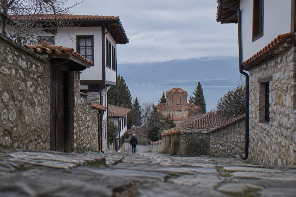
The town and the lake share the name because the town grew on the lake and the lake is the reason the town exists where it does: the settlement's churches, fortress, theatre and bazaar all sit within a short walk of the shore, and the lake's endemic wildlife is half of the reason the whole region holds World Heritage status. One word, two things, joined by geography.
That closeness shapes a visit. The lake's surface temperature, on modelled aggregator figures, runs from about 4.6 C in January to about 23.5 C in August, with the swimming season running roughly from July; the October multi-year mean from the hydrometeorological service is 14.3 C. Bathing water tests in 2026 rated most sampled points excellent or good, with Grashnica beach the exception at Class III. The practical pages on swimming in Lake Ohrid and whether the water is safe to drink carry the details.
Climate is part of the name's identity too, and the modelled ERA5 reanalysis normals for 1991-2020 show why summer dominates the calendar: July and August average daily highs of 27.1 C and 27.6 C with only about 35 mm and 33 mm of rain, while November and December bring 90.4 mm and 92.6 mm.
| Month | Mean daily high C | Mean daily low C | Rain mm |
|---|---|---|---|
| Jan | 5.0 | -0.8 | 76.5 |
| Mar | 10.0 | 2.5 | 80.5 |
| May | 19.5 | 10.8 | 70.8 |
| Jul | 27.1 | 18.3 | 34.7 |
| Sep | 22.4 | 14.9 | 62.4 |
| Nov | 11.5 | 5.3 | 90.4 |
Those figures are modelled reanalysis values for a grid cell at the centre of Ohrid, not a station record, and they describe the climate the name sits in: warm dry summers, cool winters with snow on the Galicica ridge above.
What Does The Name Mean For A Visit?
For a visitor, the name Ohrid means one compact old town you can walk across, ringed by a lake you can swim in, boat on and dive in, with museum sites priced in denars: the museum institute's listed sites, including Robev Family House and the Bay of Bones, charge 150 den for foreign visitors and 120 den for domestic visitors, with a reported 60 den rate for children and students.
The museum sites run a winter schedule from 1 October to 30 April and a summer schedule from 1 May to 30 September, and they are closed on Mondays. Robev Family House keeps winter hours of 09:00 to 15:30 and summer hours in two shifts; the Bay of Bones at Peshtani runs 09:00 to 15:30 in winter and 09:00 to 16:30 in summer; the Icon Gallery at the Perivleptos complex runs 09:00 to 14:00 in winter and 09:00 to 17:00 in summer. St Naum monastery, at the far southern end of the lake, charges 150 MKD per person, with a rowboat ride through the Crn Drim springs at about 5 EUR, and the monastery sits about 4 km from the Tushemisht border crossing into Albania.
Whether the name reaches you by air through the seasonal routes into Ohrid's own airport or by road from Skopje or Tirana, the town it delivers you to repays at least two days; the how many days you need in Ohrid page helps you size the stay, and whether Ohrid is worth visiting makes the case in full. A guided walk remains the fastest way to read the layers the name stands for, and you can Check availability for the old town walking tour on its own page.
Common Questions About The Name Ohrid
What Does Ohrid Mean?
Ohrid is the name of a town on Lake Ohrid in North Macedonia and, at the same time, the name of the lake itself. The town holds the UNESCO World Heritage listing "Natural and Cultural Heritage of the Ohrid Region", inscribed in 1979 and 1980 and extended to Albania in 2019.
Is Ohrid In Albania Or North Macedonia?
The town of Ohrid is in North Macedonia. The lake and the World Heritage property are shared: the inscription was extended to the Albanian part of the region in 2019, and the Albanian border at Tushemisht lies about 4 km from St Naum at the lake's southern end.
Why Do The Town And The Lake Have The Same Name?
The town grew on the lake's shore and the lake is central to its identity, so one name serves both. The old town's theatre, churches, bazaar and fortress all sit within a short walk of the water, and the lake's natural values are half of the reason the region holds mixed World Heritage status.
How Old Is Ohrid?
The Ancient Theatre in the old town was built at the end of the third or the start of the second century BC, and UNESCO records St Panteleimon at Plaosnik as the oldest Slav monastery. The lake beside the town has existed for about two to three million years.
What Is The Population Of Ohrid?
The municipality of Ohrid counted 51,428 residents at the 2021 census. In November 2025 the town recorded 18,103 guests and 33,149 overnight stays, with Germany the largest foreign market.
Is Ohrid Under Threat As A World Heritage Site?
No.