Why Is Lake Prespa Shrinking?
Lake Prespa, the high basin lake across the Galicica ridge from Ohrid, is measured at about 841 m above sea level. What the hydrological bulletins and the 2026 UNESCO decision actually say about the decline, and how to see the Prespa side from Ohrid.
Lake Prespa is the high, land-locked sister of Lake Ohrid: it sits in its own basin on the far side of the Galicica ridge, roughly 148 m higher than the lake Ohrid stands on, and its falling water level has become part of the same international conservation conversation that covers the Ohrid region. This page on the Ohrid Travel Guide sets out what the hydrological bulletins and the 2026 World Heritage decision actually record, and how a visitor based in Ohrid can see the Prespa side for themselves. Ohrid, in North Macedonia, is the natural base: it sits on the lower of the two lakes, inside the UNESCO mixed site whose boundaries were extended to the Albanian part of the basin in 2019.
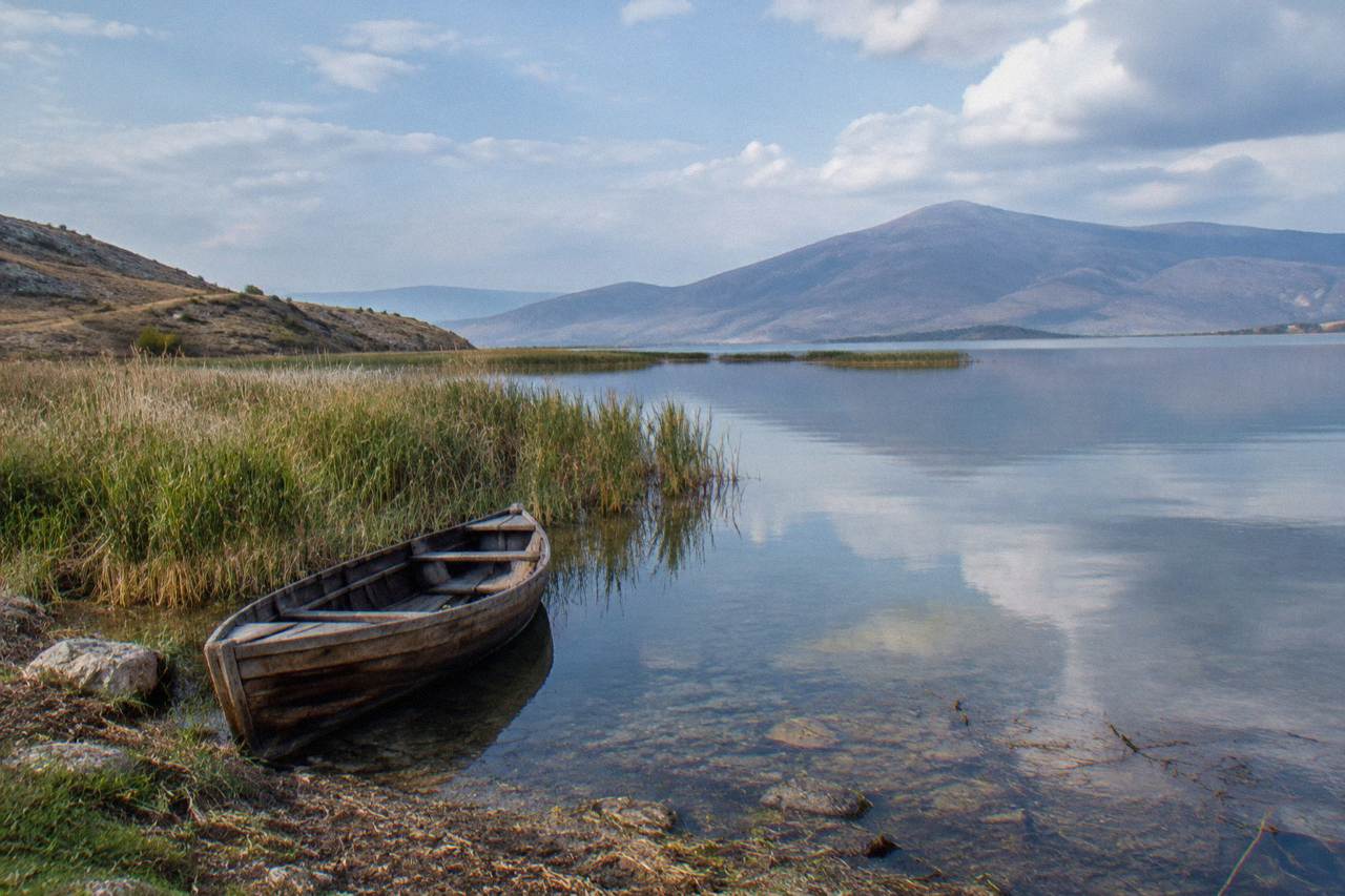
Lake Prespa is shrinking because its basin is losing water faster than it recovers: the hydrological service reads the lake at 841.36 m above sea level at the Nakolec gauge, about 148 m above Lake Ohrid, and the UNESCO review of the wider region ties the degradation of the shared basin to urban development, pollution, wastewater failures and infrastructure pressure that Albania and North Macedonia have formally been asked to correct.
The two things worth separating are the measurement and the cause. The measurement is precise and public: the national hydrometeorological service publishes daily readings for both lakes, and Prespa's gauge at Nakolec is the reference point for its side of the basin. The cause is a policy question rather than a single number. The World Heritage Committee, reviewing the "Natural and Cultural Heritage of the Ohrid Region" at its 48th session, identified degradation factors across the transboundary basin, including illegal construction and urbanisation, incomplete strategic environmental assessments, weak transboundary governance and wastewater management failures. Those findings cover the region as a whole, and Prespa's basin sits inside the same managed landscape, separated from Ohrid only by the Galicica ridge.
| Prespa Basin Fact | Figure | Note |
|---|---|---|
| Lake Prespa level, Nakolec gauge | 841.36 m above sea level | Daily hydrological bulletin reading |
| Height of Prespa above Lake Ohrid | About 148 m | The two lakes sit across the Galicica ridge |
| Galicica National Park area | 22,750 ha | Between Lake Ohrid and Lake Prespa |
| Galicica highest peak, Magaro | 2,254 m | Inside the park |
| Galicica established | 1958 | North Macedonia's second national park |
| UNESCO site extension to the Albanian part | 2019 | Mixed property, inscribed 1979 and 1980 |
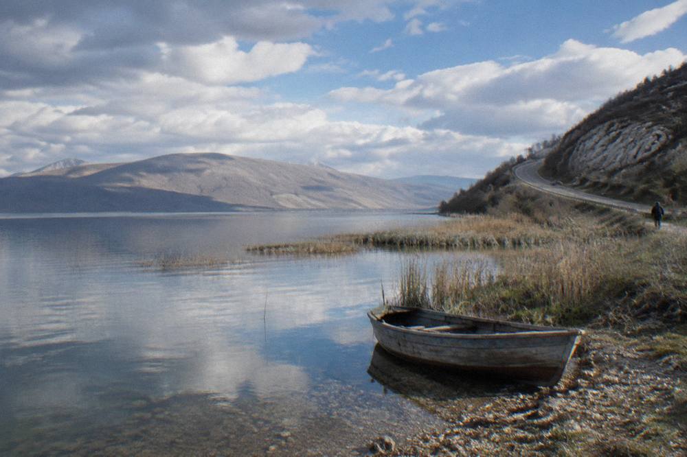
One point of confusion to settle early: Prespa's decline is not the same thing as Lake Ohrid's level. The Ohrid lake is regulated around an agreed minimum, and its gauge has held close to its multi-year October mean. Prespa, higher and with a smaller catchment, is the basin where the drop is the visible story, and the ridge between the two lakes is the reason the two water bodies behave differently even though they are managed as one heritage landscape.
Where Is Lake Prespa Relative To Ohrid?
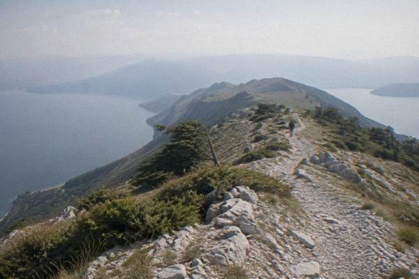
Lake Prespa lies east of Ohrid, on the other side of Galicica National Park, roughly 148 m higher than Lake Ohrid: the park itself, 22,750 hectares established in 1958, fills the ridge between the two basins, with its Magaro peak at 2,254 m, so a visitor in Ohrid is always looking up at the Prespa side rather than across at it.
The practical geography is simple. Ohrid's old town stands on the western shore of its lake; the national park climbs the mountain directly behind it; and once over the ridge the land drops into the Prespa basin, where the shoreline is shared between North Macedonia, Albania and Greece. No road distance from Ohrid to a Prespa village is given here, so the honest planning frame is the ridge itself: you cross Galicica to change lakes. The full Lake Prespa day trip guide covers the crossing in detail, and the overview of Lake Ohrid covers the lower basin this page keeps referring back to.
Because the two lakes sit at different elevations in the same mountain block, weather over the ridge matters for any visit. The table below is the modelled picture for the Ohrid grid cell, ERA5 reanalysis for 1991-2020, and it is the closest climate series for planning a crossing.
| Month | Mean Daily High (C) | Mean Daily Low (C) | Rain (mm) |
|---|---|---|---|
| Jan | 5.0 | -0.8 | 76.5 |
| Mar | 10.0 | 2.5 | 80.5 |
| May | 19.5 | 10.8 | 70.8 |
| Jul | 27.1 | 18.3 | 34.7 |
| Sep | 22.4 | 14.9 | 62.4 |
| Nov | 11.5 | 5.3 | 90.4 |
These are modelled normals, not a station record, and the park road above the lakes runs higher than the town, where snow is heavier and can close the crossing in a typical winter. Heavy snow is a documented feature of the park, and the main road over the ridge is the route that suffers when it falls.
What Did UNESCO Decide About The Region In 2026?
The detail matters, because the region spent two years under an explicit threat. In 2025 the Committee had found that the conditions for a danger listing were met, and the 2026 session at Busan was the decision point. The outcome keeps the site off the danger list but keeps the obligations: the decision asks the two states to address unchecked construction and urbanisation, to complete strategic environmental assessments, to strengthen how the two countries govern the basin together, and to manage wastewater, with new development suspended pending assessment. For Prespa, whose basin is part of the same watershed block, the significance is that the pressures identified upstream and downstream are treated as one problem rather than two.
For a visitor, none of this closes anything. The churches, the fortress, the Old Bazaar and the lake shore in Ohrid carry on as normal, and the conservation argument is about what gets built and discharged around them. The question of whether Lake Ohrid is the oldest lake in Europe and the measured depth of Lake Ohrid are separate factual questions, but the UNESCO listing is the frame that binds both lakes into one protected property, extended to the Albanian part in 2019.
How Does Galicica National Park Separate The Two Lakes?
Galicica National Park, established in 1958 as North Macedonia's second national park, occupies 22,750 hectares of the mountain ridge between Lake Ohrid and Lake Prespa, rising to Magaro at 2,254 m, and it is the physical reason the two lakes sit in separate basins about 148 m apart in elevation despite being part of one managed heritage landscape.
The park is not a strip of scenery; it is the divide itself. From the Ohrid side the mountain rises directly behind the town, and the road over it is the standard way to reach the Prespa shoreline. The park authority runs a live camera page on its official site, which is the practical way to check conditions on the ridge before setting out, since snow on the high road is a recurring winter feature rather than an exception. Summer is the season when the crossing is straightforward, and the summer guide to Ohrid covers how the ridge and the two lake shores divide up a hot-weather week.
Two notable sights frame the park for a day visitor. The road between the two lakes gives views of both from the ridge, which is the single most efficient way to understand the elevation difference this page keeps citing: you look down on one lake, then the other, from the same stopping place. And the park's own figures, its area, its founding year and Magaro's height, come from its published material rather than from estimation.
Can You See Lake Prespa On A Day Trip From Ohrid?
Yes, Lake Prespa is a standard day trip from Ohrid, reached by crossing Galicica National Park by road, and the deeper planning choice is between the Macedonian shoreline over the ridge and the Albanian side of the wider basin, which a shared-group excursion from Ohrid covers on a loop around the lake with the border crossing handled en route.
The around-the-lake excursion is the product that turns the geography of this page into an itinerary: it runs from Ohrid, crosses into Albania, and returns, which suits a visitor whose base is the old town and who wants the Prespa basin's context without organising a cross-border drive alone. Booking in the long five-day Ohrid itinerary rather than a one-day visit gives the crossing a fairer share of the week, since the ridge and both shorelines deserve more than a hurried afternoon.
For independent travellers, the same logic applies with a rented car or a guided hike: the crossing is the experience. The ridge road, the two-lake viewpoint and the drop into the Prespa basin are what make the trip distinct from a day on the Ohrid shore, and the weather table above is the planning reference, because the high road carries winter snow that the lakeside town below rarely sees.
Why Does The Prespa Level Matter For The Ohrid Side?
The Prespa level matters to Ohrid because both lakes sit inside one UNESCO mixed property and one shared watershed block: Prespa's gauge reading of 841.36 m at Nakolec, about 148 m above Lake Ohrid, is the number the joint monitoring by Albania and North Macedonia watches, and the 2026 Committee decision ties the two states' conservation obligations, from wastewater to construction control, into a single report due by 1 February 2029.
In plain terms, the falling upper lake is the visible symptom of a basin-wide problem the Committee has already named. The joint report deadline is the enforcement mechanism: it is what turned a bilateral argument about construction and discharge into a dated obligation with a forum attached. Visitors will not see any of this at street level. What they will see is the ridge, the two shorelines and the protected property that holds them together, which is exactly the frame a well-planned day trip makes physical.
The quiet irony of the geography is that the shrinking lake is the harder one to reach. Ohrid's shore, its churches and its boat trips all sit on the lower lake, and Prespa asks for a crossing. That asymmetry is worth respecting in the itinerary: give the Prespa side a full day, check the park's live cameras for snow if travelling outside summer, and treat the two-lake viewpoint on the ridge as the single place where the 148 m difference stops being a number and becomes something you can see.
For anyone weighing the excursion against independent travel, the around-the-lake trip can be checked directly with the operator at any time: Check availability.
Common Questions About Lake Prespa From Ohrid
Why Is Lake Prespa Shrinking?
The hydrological bulletin reads Prespa at 841.36 m at the Nakolec gauge, about 148 m above Lake Ohrid, and the UNESCO review of the shared basin attributes the degradation to urban development, pollution, wastewater failures and infrastructure pressure that the two states have been asked to correct.
How far above Lake Ohrid does Lake Prespa sit?
About 148 m, measured between the Nakolec gauge on Prespa and the Ohrid gauge, with Galicica National Park occupying the ridge between the two basins.
Can you visit Lake Prespa from Ohrid in one day?
Yes. The standard route crosses Galicica National Park by road, and a shared-group around-the-lake excursion from Ohrid also loops through the Albanian side of the basin. The full options are covered in the Lake Prespa day trip guide on this site.
Is Lake Ohrid also shrinking?
Lake Ohrid's level is regulated around an agreed minimum and its gauge has held close to its multi-year October mean, so the visible decline story in the basin is Prespa's, not Ohrid's. The two lakes sit in one UNESCO property either way.
On 24 July 2026 the Committee decided not to inscribe the property on the List of World Heritage in Danger, while requiring a joint report from Albania and North Macedonia by 1 February 2029.