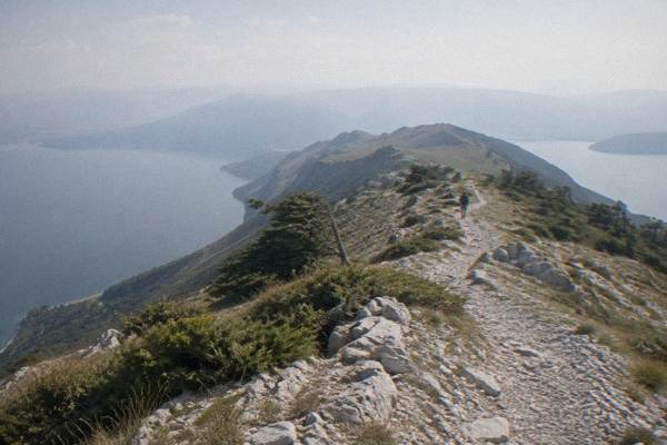
Hiking Around Ohrid: Galičica Trails, Lake Paths And Monastery Walks
Hiking around Ohrid pairs a mountain national park with a lakeside old town: Galicica rises between Lake Ohrid and Lake Prespa, and the walks below it run past Byzantine churches and monastery shores.
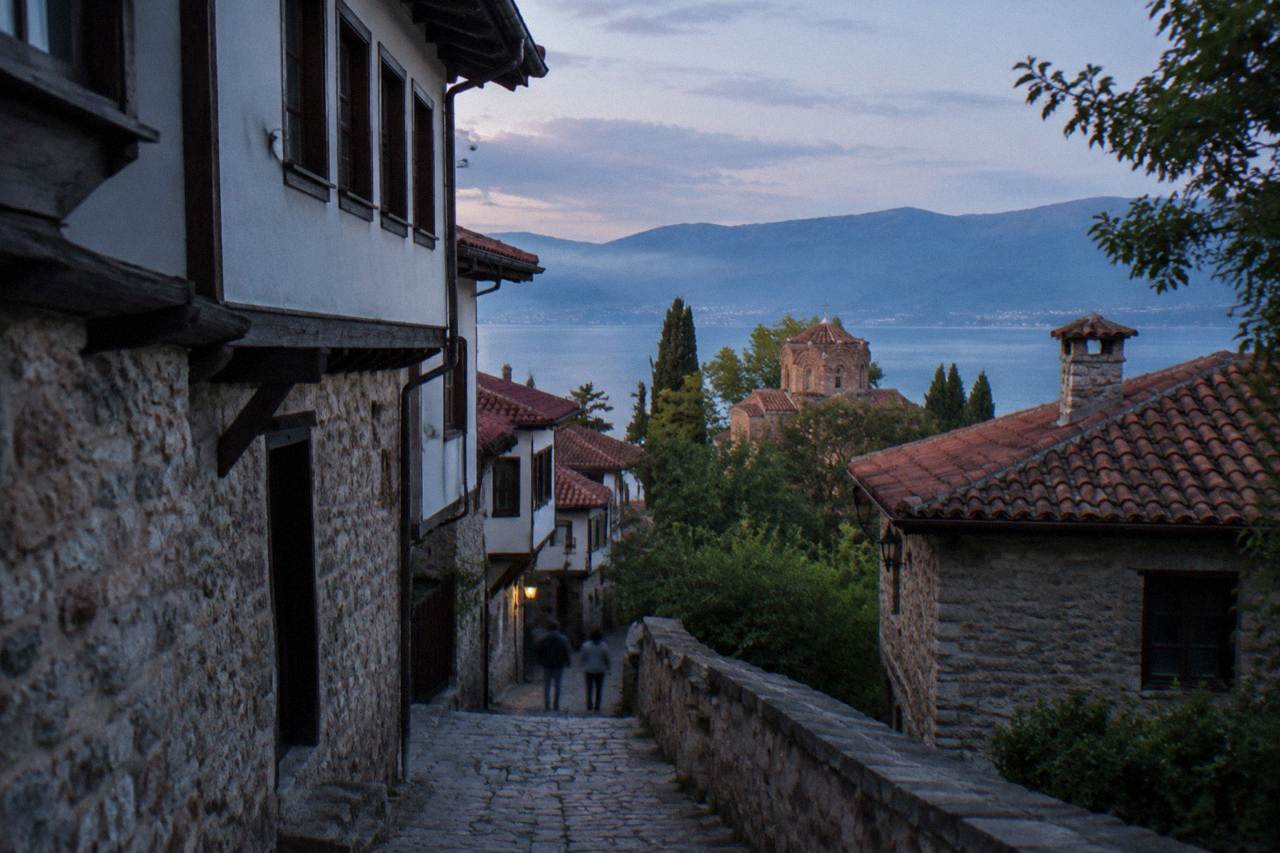
Short answer
Ohrid sits on a freshwater mountain lake at about 693 m above sea level, with Galicica National Park on the ridge above town. Trails range from old-town lanes and lakeside paths to full-day hikes in the park, best walked from late spring to early autumn; winter snow can close the park road from January to March.
Ohrid is a lakeside town in North Macedonia on the shore of Lake Ohrid, a freshwater mountain lake whose surface sits at about 693 m above sea level, and the walking here divides cleanly in two: the lanes and shore paths of the old town below, and the slopes of Galicica National Park above. This Ohrid Travel Guide page lays out the seasons, the access facts and the guided options for both. The region is part of the UNESCO mixed property "Natural and Cultural Heritage of the Ohrid Region", inscribed in 1979 and 1980, so a day on foot here moves through a listed landscape as much as a recreational one. The property spans roughly 94,729 hectares across the lake basin, which puts even a short shore walk inside a World Heritage boundary.
Why Is Hiking Around Ohrid Different From Other Lake Towns?
Hiking around Ohrid is walking inside a UNESCO mixed property that spans both a lake shore and a mountain ridge: Lake Ohrid sits at about 693 m above sea level, and Galicica National Park rises between that lake and Lake Prespa, whose gauge reads about 148 m higher. Few towns offer a shore path and a national park ridge walk from the same base. The lake itself has existed about two to three million years, per UNESCO's own listing.
That combination shapes every walking day. The old town climbs from the lake toward Samuel's Fortress on lanes that are entirely on foot, so even a day without a trailhead delivers real ascent. Above the town, the park covers 22,750 hectares between the two lakes, and its highest peak, Magaro, stands at 2,254 m. The park was established in 1958 as North Macedonia's second national park.
Galicica also holds a second lake on its far side. The full park guide is on the site's Galicica National Park day-trip page.
Which Galičica Trails Can You Walk From Ohrid?
The headline trail product from Ohrid is a guided "Two Lakes" hiking trail in National Park Galicica, a bookable excursion that covers the ridge between Lake Ohrid and Lake Prespa; beyond it, the park is open year-round with a vehicle entry fee of 250 MKD per car, and the main road over the mountain can be closed by heavy snow, typically from January to March. Independent walkers should plan around those two facts.
The vehicle fee is charged per car with no per-passenger charge, and 100 MKD applies only to someone entering the park on foot from the Ohrid-side gate. That makes the park's own access pricing unusually favourable for walkers: arrive on foot and the gate fee is the lower figure, arrive by car and the car pays once regardless of how many people are inside.
For walkers who want the ridge without route-finding, guided products do the planning. The Jeep Safari in Galicica covers the park by vehicle rather than on foot, and the "Two Lakes" hike is the dedicated walking product. Details, ratings and prices render in the card blocks below and are never typed into prose, per this site's rules.
The two lakes themselves frame the walk differently by season. Lake Ohrid's surface warms from about 4.6 C in January to about 23.5 C in August, modelled aggregator values, while Prespa sits higher and colder in feel. Neither figure changes the trail, but both change what a rest stop at the shore feels like. Summer walkers should also note the 2026 lake navigation limits set by the government decision of 2 June 2026: jet skis are banned from 1 July to 31 August between 11:00 and 19:00, and boats are restricted at night through the summer and into October, which mainly matters if a trail day ends with a planned evening cruise.
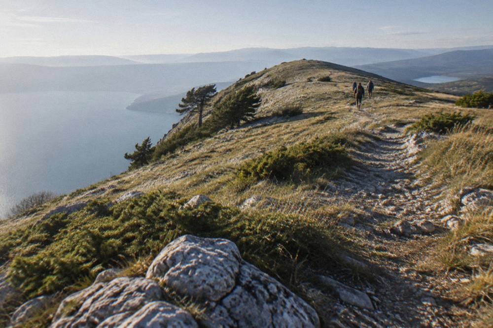
Where Do The Lake Paths And Monastery Walks Go?
The lake paths of Ohrid run through the old town's pedestrian lanes, past St John at Kaneo and along the shore, while the monastery walks point south to St Naum at the Crn Drim springs near the Albanian border; the St Naum monastery sits about 4 km from the Tushemisht border crossing, and boat trips from Ohrid port run there roughly May to October.
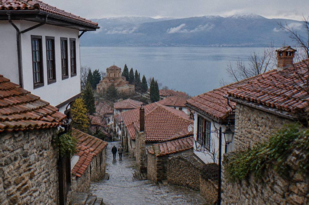
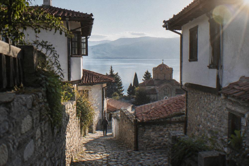
The old-town walks are the everyday option. The lanes climb from the lake to Samuel's Fortress on foot, and the shore path connects the town to the Kaneo district below it. Kaneo, Plaosnik, St Sophia and the Perivleptos complex with the Icon Gallery all sit within or beside this walking terrain, and several of them fall under the museum institute's ticket system: 150 MKD for foreign visitors and 120 MKD for domestic visitors, per the institute's own site. The Icon Gallery, in the Perivleptos complex, keeps winter hours of 09:00 to 14:00 from 1 October to 30 April, summer hours of 09:00 to 17:00 from 1 May, and closes on Mondays.
The monastery walks are a different commitment. St Naum is a day trip from Ohrid, reached by road or by the seasonal boats from the port, and the monastery's setting at the Crn Drim springs makes it the natural southern endpoint of any lakeside walking or cruising day. The site's St Naum monastery page covers the monastery itself, and the Kaneo district guide covers the church-and-shore walk closest to town.
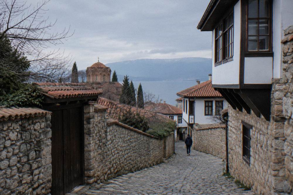
When Is The Best Season For Hiking In Ohrid?
The most reliable hiking months around Ohrid are late May through early October, when the modelled ERA5 normals for the town show mean daily highs from about 19.5 C in May to about 17.4 C in October, with monthly rain between roughly 33 and 71 mm; July and August bring 34.7 and 32.9 mm of rain, and January and February bring mean lows below freezing at minus 0.8 and 0.0 C.
Those figures come from ERA5 reanalysis, 1991 to 2020, computed for a grid cell at the town, not a weather station record, and they describe the town at the lake, not the ridge above it. The park road's snow closures, typically January to March, are the practical winter limit for anything involving Galicica itself. The full month-by-month picture, including the figures below, sits on the Ohrid weather guide.
| Month | Mean high C | Mean low C | Rain mm |
|---|---|---|---|
| Jan | 5.0 | -0.8 | 76.5 |
| Feb | 6.3 | 0.0 | 74.3 |
| Mar | 10.0 | 2.5 | 80.5 |
| Apr | 14.6 | 6.3 | 82.4 |
| May | 19.5 | 10.8 | 70.8 |
| Jun | 24.2 | 15.2 | 43.1 |
| Jul | 27.1 | 18.3 | 34.7 |
| Aug | 27.6 | 19.0 | 32.9 |
| Sep | 22.4 | 14.9 | 62.4 |
| Oct | 17.4 | 10.3 | 76.0 |
| Nov | 11.5 | 5.3 | 90.4 |
| Dec | 6.2 | 0.9 | 92.6 |
November and December carry the highest monthly rain totals in the table, 90.4 and 92.6 mm, and August the lowest at 32.9 mm. Rain alone rarely stops an old-town walk, since the lanes, churches and museum sites stay reachable, and the site's Ohrid in the rain guide handles that case fully.
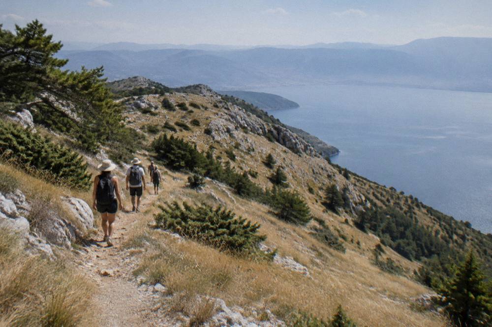
How Hard Are The Trails Around Ohrid?
Difficulty varies from moderate town walking to a genuine mountain day. Lakeside and old town routes involve repeated climbs from the lake to the fortress, since named sights sit at different heights on the slope, but no alpine equipment is needed. The Galicica park end covers 22,750 ha and reaches Magaro peak at 2,254 m, so it deserves mountain respect and realistic pacing, with the main road sometimes closed by snow from January to March.
What the walks do require is realistic pacing. The old town climbs from the lake to the fortress on foot, and that climb is repeated several times on any church-to-church day, since the named sights sit at different heights on the slope. On the park side, the guided "Two Lakes" hike is the structured way to take on the ridge, and its difficulty rating and duration render from its product card rather than from prose.
Three practical facts help with planning:
| Item | Figure | Note |
|---|---|---|
| Galicica area | 22,750 ha | Between Lake Ohrid and Lake Prespa |
| Magaro peak | 2,254 m | Highest point of the park |
| Park vehicle fee | 250 MKD per car | No per-passenger fee; 100 MKD on foot from the Ohrid-side gate |
| Park road snow closure | Typically Jan to Mar | Heavy snow can close the main road |
For walkers who want water rather than ridge under a day, the swimming in Lake Ohrid guide lists the lake-based alternatives, and the Lake Ohrid guide covers the lake itself.
What Should You Pack For A Walking Day In Ohrid?
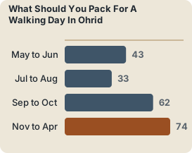
Pack for a mountain lake at altitude: even in July the modelled mean low is 18.3 C and monthly rain is 34.7 mm, so a rain layer and a warm layer are wise on any Galicica day, and the museum sites in town charge entry in denar, with the institute's foreign ticket at 150 MKD, so carry some cash for the sightseeing legs of a mixed day.
The currency point matters more than visitors expect. The denar is the local currency, and while tour and transfer prices are commonly quoted in euros, euros are not legal tender in North Macedonia. Museum tickets, park fees and small purchases run in MKD. The site's money guide covers this in detail.
| Season | Layers | Rain risk | Extra |
|---|---|---|---|
| May to Jun | Light plus warm layer | 43 to 71 mm monthly | Sun protection for open ridge |
| Jul to Aug | Light | 33 to 35 mm monthly | Water; mean highs 27.1 to 27.6 C |
| Sep to Oct | Warm layer | 62 to 76 mm monthly | Shorter daylight legs |
| Nov to Apr | Full warm kit | 74 to 93 mm monthly | Park road may be snow-closed Jan to Mar |
Emergency numbers are worth saving before any trail day: ambulance 194, police 192, roadside assistance 196. The site's Ohrid safety guide covers the broader picture, including the US advisory standing at Level 1, Exercise Normal Precautions, as reported. One further planning note for summer trail days: the 2026 bathing-water testing found most lake samples excellent, so a post-hike swim is a reasonable plan on the town beaches, subject to the seasonal water temperatures covered further down.
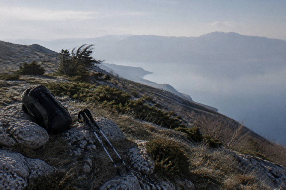
Can You Combine A Hike With A Boat Or Jeep Day In Ohrid?
Yes, and the combination is one of Ohrid's signatures: the full-day boat cruises from Ohrid port run to St Naum with stops that can include the Bay of Bones at Peshtani, so a morning on a trail above town can pair with an afternoon on the water, and the jeep and ATV products in Galicica cover the park's terrain for walkers who want the ridge without the full walking day.
The Bay of Bones, the Museum on Water at Gradishte near Peshtani, keeps summer hours of 09:00 to 16:30 from 1 May to 30 September, winter hours of 09:00 to 15:30 from 1 October to 30 April, and closes on Mondays; entry runs through the museum institute's ticket system at 150 MKD foreign and 120 MKD domestic. Its own page on this site, Bay of Bones, covers the museum in full, and the boats and ferries guide covers the water side.
The two anchor products for a mixed day are the guided boat trip that links the Bay of Bones, St Naum and a swim stop, and the ATV full-day adventure through the park. Their specifics render below.
A third option crosses the border instead of the ridge. The Tour Around the Lake on the Albanian side is this site's featured related tour for hiking days, a bookable excursion from Ohrid that rings the Albanian shore of the lake; it is covered on the Lake Ohrid by bike page and things to do in Ohrid roundups, and Check availability at the operator's live listing.
Where Do You Rest Your Legs After A Trail Day In Ohrid?
The recovery options cluster in the old town and along the shore: the museum sites reward a slow afternoon, the wine-tasting products in the roster cover the evening, and the old-town lanes themselves turn into a gentle evening walk past St Sophia and the Old Bazaar, all within the same walkable footprint as the morning's ascent.
The wine side deserves its own mention. Ohrid's tasting products include a monastery winery tour and several smaller tastings, and the site's rakija and Macedonian wine guide covers what is in the glass. For walkers planning a second day, the one-day Ohrid itinerary sequences the sights so the climbing is front-loaded, and the swimming in Lake Ohrid guide answers the question a trail day on a warm lake always ends with.
How Do You Plan A Multi-Day Hiking Trip To Ohrid?
Plan around three blocks: two or three days based in the old town for the lanes, churches and shore walks; one day for Galicica, either the guided "Two Lakes" hike or a jeep safari if the legs need a rest; and one flexible day for St Naum by boat or the Albanian shore by road. Book the Galicica and border days ahead, since both depend on operators and, in the park's case, on seasonal road conditions.
Timing drives everything. The modelled water temperatures say the lake swim season runs from about July, with July at about 22.9 C and August at about 23.5 C, modelled aggregator values, while the UHMR multi-year October mean is 14.3 C. A September trip pairs warm trails with a swim that is still plausible; a June trip pairs green ridges with cooler water. The site's best time to visit Lake Ohrid answer and the can you swim in Lake Ohrid answer settle both questions.
| Day block | Base | Focus | Key access fact |
|---|---|---|---|
| Days 1 to 2 | Old town | Lanes, fortress slope, Kaneo, churches | Museum sites closed Mondays; institute tickets 120/150 MKD |
| Day 3 | Galicica | Ridge hike or jeep safari | 250 MKD per vehicle; road can close Jan to Mar |
| Day 4 | South shore | St Naum by boat or road | Boats run roughly May to October; monastery 150 MKD, as listed by the cruise operator |
| Flex day | Ohrid or border | Albanian shore, Prespa side | Border at St Naum/Tushemisht, about 4 km from the monastery |
The booking side is simple: every product price, rating and duration on this page renders from the card blocks, and the picks below cover the trail, the town and the park in one view.
Common Questions About Hiking Around Ohrid
Can you hike in Galicica National Park from Ohrid?
Yes. Galicica lies between Lake Ohrid and Lake Prespa, entry by vehicle is 250 MKD per car with no per-passenger fee, and a guided "Two Lakes" hiking trail is bookable from Ohrid. Heavy snow can close the main park road, typically from January to March.
When is the hiking season in Ohrid?
Late May to early October is the reliable window.
Is the old town of Ohrid good for walking?
Yes. The old town climbs from the lake toward Samuel's Fortress on lanes that are entirely on foot, and the churches, the Old Bazaar and the shore path all sit inside that walkable footprint.
Do you need a guide to hike around Ohrid?
The old town and shore paths need no guide. For Galicica, a guided product such as the "Two Lakes" trail handles route-finding, park access and timing, and a jeep safari covers the ridge for walkers who want a rest day.
What fees apply on a hiking day around Ohrid?
Galicica charges 250 MKD per vehicle, or 100 MKD on foot from the Ohrid-side gate. The museum institute sites in town, including Robev Family House, the Museum on Water and the Icon Gallery, charge 150 MKD foreign and 120 MKD domestic tickets.
Can you walk to St Naum monastery from Ohrid?
St Naum is a day trip rather than a town walk, reached by road or by the seasonal boats from Ohrid port, which run roughly May to October. The monastery sits about 4 km from the Tushemisht border crossing with Albania.
The short version: base in the old town, walk the lanes and the Kaneo shore on the easy days, save Galicica for a clear-weather day between May and October, and let a boat or a jeep carry the legs when the ridge has finished with them.