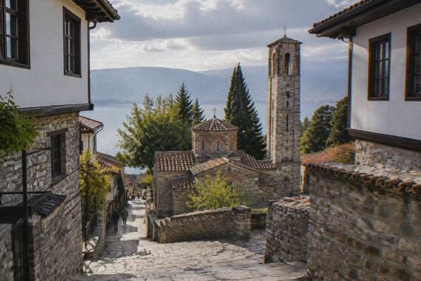
Where Is Ohrid? Location, Borders And Maps
Ohrid is a lakeside town in the southwest of North Macedonia, on the northeastern shore of Lake Ohrid, a freshwater mountain lake whose surface sits at about 693 m above sea level.
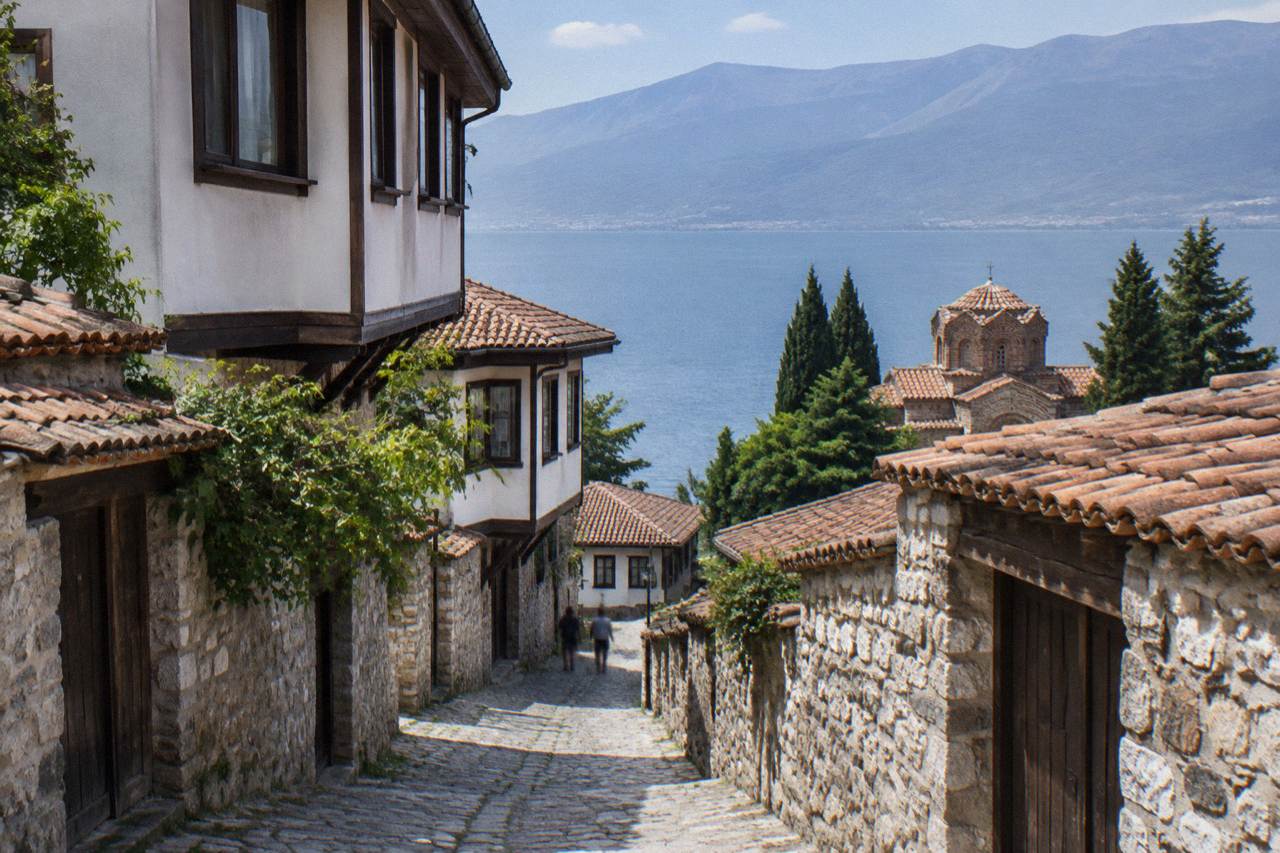
Short answer
Ohrid is in the southwest of North Macedonia, on the shore of Lake Ohrid at about 693 m above sea level, close to the Albanian border and about 170 km by road from the capital, Skopje.
Ohrid is a lakeside town in the southwest of North Macedonia, on the northeastern shore of Lake Ohrid, a freshwater mountain lake whose surface sits at about 693 m above sea level. The old town centres on the point 41.1172 degrees north, 20.8016 degrees east in the Europe/Skopje time zone. This page, from the Ohrid Travel Guide, sets out where exactly the town and the lake sit, which borders surround them, how far the place is from the region's capitals and airports, and how the UNESCO listing maps onto the shoreline. Ohrid is an inland destination: there is no sea coast, no river through town, no tram and no bike share, and the whole region is reached by road, boat or a small airport 10 km away.
Where Is Ohrid, Exactly?
Ohrid sits on the northeastern shore of Lake Ohrid, in the southwest of North Macedonia, at coordinates 41.1172 degrees north and 20.8016 degrees east, in the Europe/Skopje time zone, and the lake surface is about 693 m above sea level. The town is the main settlement on the Macedonian side of the lake, with the old town climbing from the shoreline up towards Samuel's Fortress, and the lanes of the old core are entirely on foot. Lake Ohrid is a freshwater mountain lake, not a sea, and the town has no river, no trams and no bike share.
The lake itself is old by any measure. UNESCO's listing for the Ohrid region describes the lake as having existed for about two to three million years, with over 200 endemic species including 17 endemic fish. That listing, "Natural and Cultural Heritage of the Ohrid Region", was inscribed in 1979 for its natural values and 1980 for its cultural ones, and was extended in 2019 to include the Albanian part of the lake basin, making it a mixed property of about 94,729 hectares across two countries.
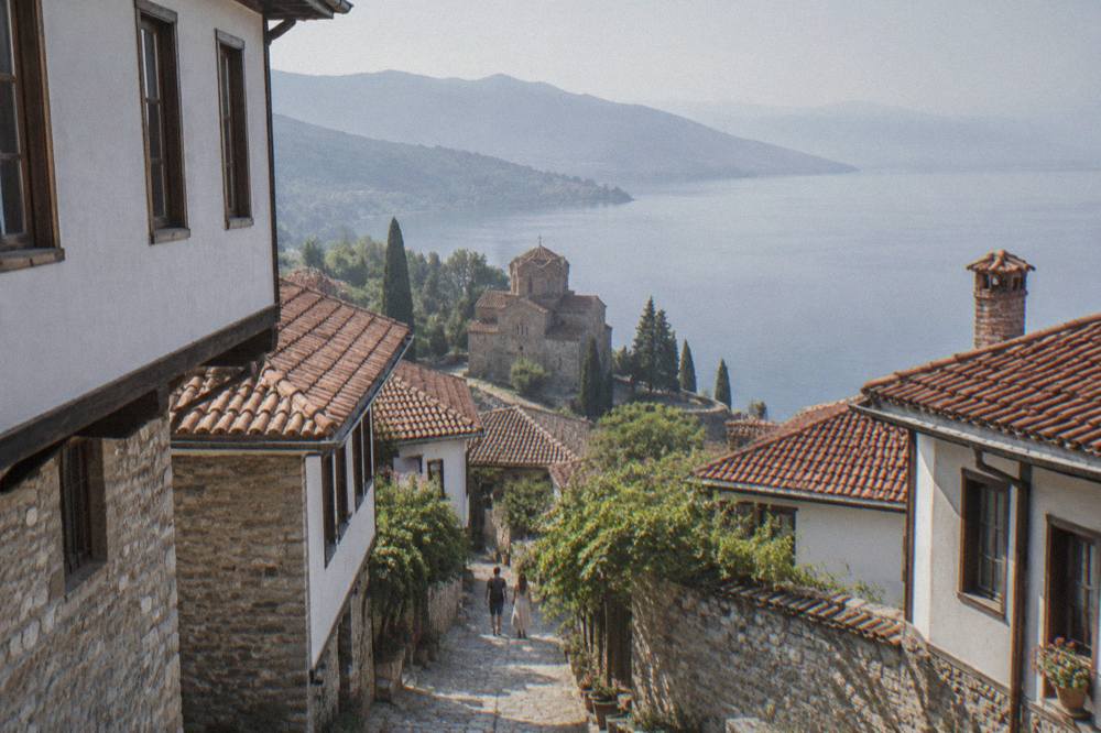
For orientation, three features frame every map of the area. Galicica National Park rises between Lake Ohrid and Lake Prespa immediately east of town. The Albanian border runs along the southern and western edge of the lake basin, with the nearest crossing at Sveti Naum and Tushemisht. And the town's own geography is vertical: the old town climbs from the lake to the fortress, and everything in between is a network of stepped lanes.
| Orientation fact | Figure | Note |
|---|---|---|
| Coordinates of the old town | 41.1172 N, 20.8016 E | Europe/Skopje time zone |
| Lake Ohrid surface level | about 693 m above sea level | UHMR gauge reading |
| Country | North Macedonia | Outside the EU and Schengen |
| UNESCO property | about 94,729 ha | Mixed site, inscribed 1979 and 1980 |
| Albanian extension of the UNESCO site | 2019 | Lake basin crosses the border |
| Airport distance | about 10 km | Ohrid St Paul the Apostle (OHD) |
A good first map reading is to place Skopje to the northeast, Tirana to the southwest across the Albanian border, and Lake Prespa just over the Galicica ridge to the east, sitting about 148 m higher than Lake Ohrid, which is the cleanest single illustration of how the two lakes stack up across the mountain. If the orientation is clear, the practical questions are next: how to get to Ohrid and where to stay in Ohrid both have their own guides.
What Country Is Ohrid In, And What Borders Matter?
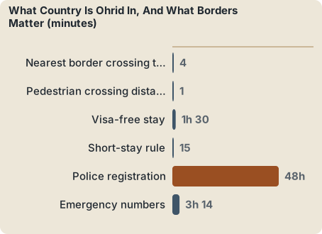
Ohrid is in North Macedonia, a country that is outside the European Union and outside the Schengen Area, and the town sits close to the Albanian border, which crosses the lake basin along the southern and western shoreline at the Sveti Naum and Tushemisht crossing. That crossing lies about 4 km from the St Naum monastery, roughly a ten minute drive, with taxi quotes around 400 denars for that hop. Because North Macedonia is not in Schengen, border checks apply on every entry by road.
North Macedonia's neighbours frame every route in. Albania lies across the lake to the south and west. The Kosovo, Serbian, Bulgarian and Greek borders lie further afield to the north and east. Bulgaria and Romania became full Schengen members, land borders included, on 1 January 2025, but North Macedonia itself is not in Schengen, so border checks apply on every entry. Visa-free nationals may stay up to 90 days in any 180-day period, and UK guidance says visitors register with the local police within 48 hours of arrival, which hotels normally do for their guests.
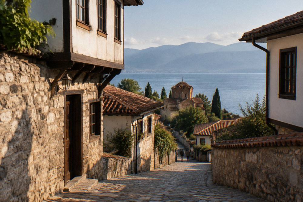
The Tushemisht crossing is walkable in both directions: pedestrians cross between the two posts on foot, a stretch of about 1 to 1.5 km that takes around 45 minutes to walk, and it is a common way to reach the Albanian side without a car. Holders of a valid multiple-entry UK, US or Canadian visa, or a Schengen residence permit, may enter for up to 15 days under the foreign ministry's rules. Full entry detail, including the UK passport rule that expiry must fall at least 90 days after arrival, sits in the North Macedonia visa and entry guide.
| Border or entry fact | Figure | Applies to |
|---|---|---|
| Nearest border crossing to Ohrid | Sveti Naum / Tushemisht, about 4 km from St Naum | Albania |
| Pedestrian crossing distance | about 1 to 1.5 km between posts, about 45 min on foot | Walkers |
| Visa-free stay | up to 90 days in any 180-day period | Visa-free nationals |
| Short-stay rule | up to 15 days | Holders of valid UK, US, Canadian visas or Schengen residence |
| Police registration | within 48 hours of arrival | UK guidance; hotels register guests |
| Emergency numbers | ambulance 194, police 192, roadside 196 | North Macedonia |
Because North Macedonia is outside the EU and Schengen, roaming, currency and border routines all differ from the bloc. The currency is the Macedonian denar, pegged in practice to the euro, with the National Bank's middle rate at 61.6633 denars per euro on 19 October 2026; euros are quoted for many tours and transfers but are not legal tender. The Macedonian denar and money guide covers notes, exchange and ATM practice in detail.
How Far Is Ohrid From Skopje, Tirana And The Airport?
Ohrid is about 170 km by road from Skopje, with buses taking about three hours and costing 850 to 950 denars one way, while minibuses from Tirana take three to three and a half hours across the border and cost about 15 to 20 euros, and the town's own airport is about 10 km from the centre. There is no passenger train to Ohrid and no domestic flight from Skopje, so road and the small airport are the whole picture.
The Skopje route is the busiest. Buses run from Skopje's Transport Centre several times a day, operated by companies including Galeb and Classic Company, and arrive at Ohrid's bus station east of the centre. By car the same road is about 172 km and roughly two and a half hours, with about 140 MKD in motorway tolls paid at plazas along the A2 sections, and there is no vignette system. The Kicevo to Ohrid motorway remains under construction, with full opening expected in the first half of 2027, so part of the drive is still the older road. The Skopje to Ohrid and Ohrid airport guides carry the detail.
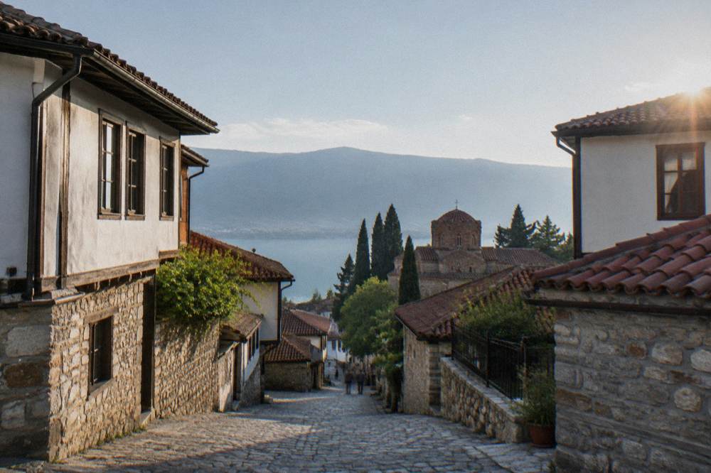
From Tirana, shared minibuses, the furgon system, run roughly five to seven times a day, mostly from Tirana's south and regional terminal, crossing at Qafe Thane or Kjafasan and arriving in three to three and a half hours including the border. The crossing at Sveti Naum and Tushemisht is reported to be open around the clock for passenger vehicles and pedestrians. The Tirana to Ohrid guide lists terminals and operators.
| Route | Distance or time | Fare as published | Note |
|---|---|---|---|
| Skopje to Ohrid by bus | about 170 km, about 3 hours | 850 to 950 MKD one way | Several departures daily |
| Skopje to Ohrid by car | about 172 km, about 2.5 hours | about 140 MKD in tolls | Paid per plaza, no vignette |
| Tirana to Ohrid by minibus | 3 to 3.5 hours with border | about EUR 15 to 20 | Roughly 5 to 7 daily |
| Ohrid airport (OHD) to centre | about 10 km | taxi reported 600 to 800 MKD | Access via the E65 |
| St Naum to Tushemisht border | about 4 km, about 10 min drive | taxi quoted 400 MKD | Walkable crossing |
| Skopje private transfer | about 170 km | from about EUR 130 | Alternative to bus |
Once in town, orientation is easy because the settlement hugs the shoreline. The Ohrid bus station, car rental and taxis pages cover local movement, and the lakeside itself is served by seasonal boats described in the Lake Ohrid boats and ferries guide.
Once the geography is fixed, seeing it on foot is the natural next step, and three guided options cover the town and the lake from different angles.
The shared hidden-gems walk in that list is the one that most directly turns this page's map into a route: it moves through the old town's lanes and lesser-known corners in a small group. It can be checked directly at Check availability, and the same tour has its own detail page on this site.
Where Is Lake Ohrid On The Map, And Where Is Lake Prespa?
Lake Ohrid sits in a mountain basin straddling the border between North Macedonia and Albania in the western Balkans, with its surface at about 693 m above sea level, and Lake Prespa lies just to the east on the far side of the Galicica ridge, roughly 148 m higher. The two lakes are separated by Galicica National Park, North Macedonia's second national park, proclaimed in 1958, covering 22,750 hectares between the two lakes with the Magaro peak at 2,254 m.
The height difference between the two lakes comes from the same hydrological service bulletin that tracks the Ohrid gauge, which reports the Nakolec gauge on Lake Prespa standing about 148 m above Lake Ohrid. This vertical stacking is the single most useful fact for reading any relief map of the region, because it explains both the views from the Galicica ridge and the way the park's road climbs out of Ohrid before dropping towards Prespa. The park is open year-round, though heavy snow can close the main road, typically between January and March, and entering by vehicle costs 250 MKD per car with no per-passenger fee, or 100 MKD on foot from the Ohrid-side gate. The Galicica National Park and Lake Prespa day trip guides expand on both.
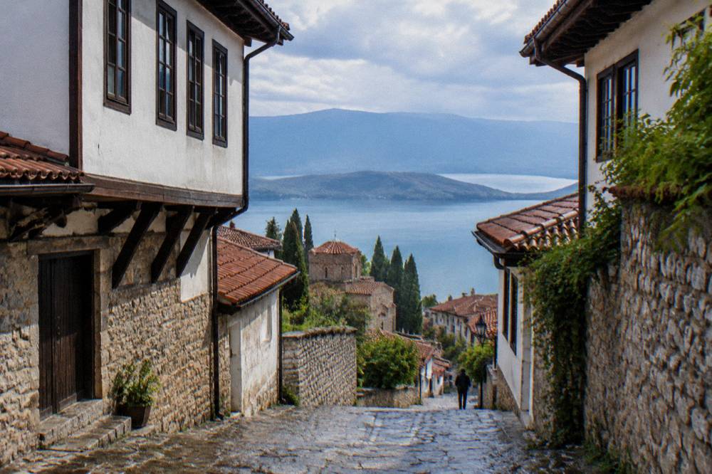
On the Macedonian shoreline, the lake's landmarks string out from north to south: Struga where the Black Drim drains the lake at the northwestern corner, Ohrid's old town on the northeast shore, the Bay of Bones museum at Gradiste near Peshtani further south, Trpejca and Ljubanista beyond it, and the St Naum monastery at the springs of the Crn Drim at the very southern end, a few kilometres from the Albanian border. Boats connect several of these points in the main season, roughly May to October. The full picture is in the Lake Ohrid guide.
| Lake and park fact | Figure |
|---|---|
| Lake Ohrid surface level | about 693 m above sea level |
| Lake Prespa level (Nakolec gauge) | about 148 m above Lake Ohrid |
| Galicica National Park | 22,750 ha between the two lakes, proclaimed 1958 |
| Highest peak in Galicica | Magaro, 2,254 m |
| Park vehicle entry | 250 MKD per vehicle, no per-passenger fee |
| Park entry on foot | 100 MKD, Ohrid-side gate |
| Lake age per UNESCO | about two to three million years |
| Endemic species | over 200, including 17 endemic fish |
What Does The UNESCO Listing Cover On The Map?
The UNESCO listing, "Natural and Cultural Heritage of the Ohrid Region", is a mixed World Heritage property of about 94,729 hectares that was inscribed in 1979 for nature and 1980 for culture, and extended in 2019 to include the Albanian side of the lake, so the protected area crosses the national border and covers both the lake and the towns on its shores. It is one of the small number of mixed properties worldwide, protected simultaneously for its natural and cultural values.
The cultural side of the listing rests on Ohrid's Byzantine heritage. UNESCO's description records the town as the site of the oldest Slav monastery, St Panteleimon at Plaosnik, and notes a collection of more than 800 Byzantine-style icons dating from the 11th to the end of the 14th century. The natural side rests on the lake's age and its endemic life. The Ohrid UNESCO World Heritage guide maps the property boundary and its history in full.
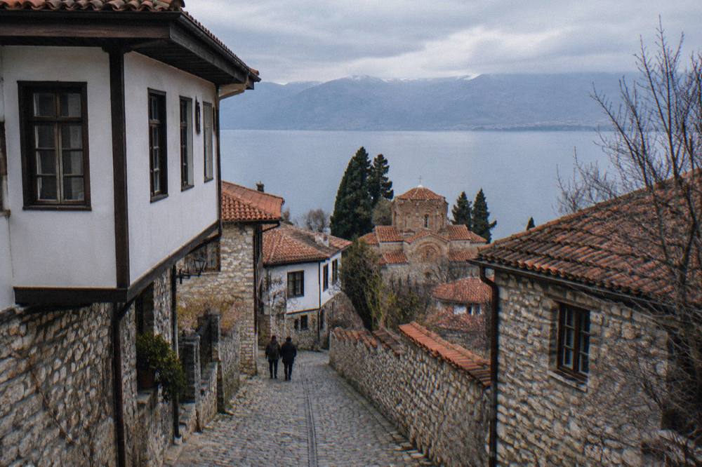
One point of map-reading precision matters here. The property is listed as World Heritage; it is not on the danger list. Individual churches, including St John at Kaneo, St Sophia, Plaosnik and the Perivleptos complex, each have their own pages on this site.
Where Do The Named Sights Sit Within The Town?
The old town is compact and vertical. From the lake shore it climbs past the Church of St John at Kaneo on its promontory, up through the lanes to Samuel's Fortress and the Ancient Theatre, with the Old Bazaar and St Sophia lower down near the flat of the town. The old town and Kaneo district guides give street-level routes, and the things to do in Ohrid page lists the sights in full.
What Is The Weather Like At 693 Metres?
Because the lake surface sits at about 693 m above sea level in a mountain basin, Ohrid's climate is continental with cold winters and warm summers, and modelled ERA5 reanalysis normals for 1991 to 2020 put July's mean daily high at 27.1 C and January's mean daily low at minus 0.8 C. These are modelled normals for the grid cell over the town, not a station record, and they give the year its shape.
The monthly shape of the year matters for planning. Rain runs highest in late autumn and winter, with December at 92.6 mm and November at 90.4 mm, and lowest in midsummer, with August at 32.9 mm. Snow falls in Ohrid in winter, and Galicica at higher elevation holds more of it. Lake surface temperatures, from modelled aggregator values, run from about 4.6 C in January to about 23.5 C in August, with the swimming season generally from July. The Ohrid weather and best time to visit Ohrid guides turn this into month-by-month advice.
| Month | Mean daily high C | Mean daily low C | Rain mm |
|---|---|---|---|
| Jan | 5.0 | -0.8 | 76.5 |
| Feb | 6.3 | 0.0 | 74.3 |
| Mar | 10.0 | 2.5 | 80.5 |
| Apr | 14.6 | 6.3 | 82.4 |
| May | 19.5 | 10.8 | 70.8 |
| Jun | 24.2 | 15.2 | 43.1 |
| Jul | 27.1 | 18.3 | 34.7 |
| Aug | 27.6 | 19.0 | 32.9 |
| Sep | 22.4 | 14.9 | 62.4 |
| Oct | 17.4 | 10.3 | 76.0 |
| Nov | 11.5 | 5.3 | 90.4 |
| Dec | 6.2 | 0.9 | 92.6 |
Figures are ERA5 reanalysis climate normals, 1991 to 2020, for the grid cell over Ohrid. The seasons follow from them: July and August are the warmest and busiest months, November and December carry the highest rain totals, and the lake reaches swimmable modelled temperatures from July. Seasonal guides for spring, summer, autumn and winter apply this to itineraries.
How Do You Get Around Once You Are There?
Ohrid is a walkable town where the old core is entirely on foot, local buses connect Ohrid with Struga for a reported 100 to 150 denars, seasonal boats cross the lake from roughly May to October, and taxis handle short town rides, with the 2026 summer season bringing a resident-only parking regime on several old-town streets. There is no tram, no bike share and no urban rail, so the four modes above are the complete set.
The parking change matters for drivers. From summer 2026, streets including Ilindenska, Kosta Abrash and Car Samoil in the old town became reserved for residents holding a valid sticker, and non-resident vehicles risk clamping. On the water, a 2026 government decision set navigation limits for the lake: jet skis are banned between 1 July and 31 August from 11:00 to 19:00, and boats are restricted at night between 3 June and 31 August from 21:00 to 05:00, with a further October limit. Both are dated 2026 rules rather than permanent law, and they shape how a visit feels in high summer.
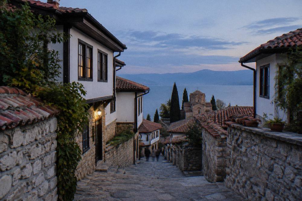
Getting out of town follows the same map. Struga, at the lake's northwestern outlet, Galicica's ridge road, the villages along the eastern shore and St Naum at the southern springs are all short hops by bus, boat or taxi, and each has a dedicated day-trip page on this site. For a first visit, the how many days in Ohrid guide suggests realistic splits between town, lake and park.
The Skopje-start day tour in the trio below is the exception to Ohrid-based exploring, since it departs from the capital and covers the UNESCO heritage sites as a full-day excursion. It suits travellers combining Skopje with the lake rather than staying in Ohrid itself.
What Maps And Apps Help Before You Go?
The practical set is small: a map of the old town's pedestrian lanes, the E65 road approach from the airport, the lakeside boat departure points, and the two border crossings that matter, Qafe Thane or Kjafasan on the Tirana route and Sveti Naum and Tushemisht at the lake's southern end. Everything else in the region hangs off those four reference points.
A few practicalities follow from the location. Tap water in Ohrid is generally drinkable, per secondary reporting on the municipal supply, though the lake itself is not a drinking source. The US State Department's advisory for North Macedonia stands at Level 1, Exercise Normal Precautions. Emergency numbers are ambulance 194, police 192 and roadside assistance 196. The is Ohrid safe guide addresses safety questions directly, and the Ohrid travel tips page collects the rest.
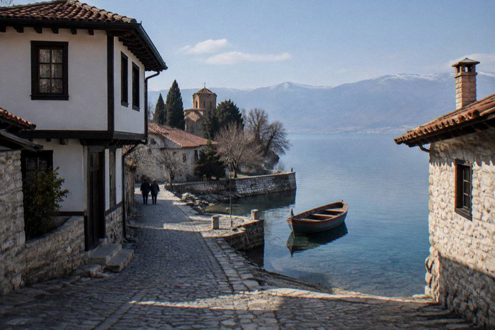
Budgeting follows the location too: the denar is the currency, museum tickets are priced in it, and product prices render in the listings rather than in prose. The Ohrid cost and budget guide works through a realistic daily spend. For eating, the Ohrid food and restaurants pages map the town's kitchens, and the beaches and swimming in Lake Ohrid guides cover the shoreline.
For travellers who want the lake itself rather than the lanes, the Bay of Bones boat day in the final trio below runs the length of the southern shoreline with a barbecue stop, one of the clearest ways to read the geography of this page from the water.
Common Questions About Where Ohrid Is
Where is Ohrid?
Ohrid is a lakeside town in the southwest of North Macedonia, on the northeastern shore of Lake Ohrid, a freshwater mountain lake at about 693 m above sea level. The old town sits at 41.1172 N, 20.8016 E.
Is Ohrid in Albania or North Macedonia?
Ohrid is in North Macedonia. The Albanian border runs through the southern part of the lake basin, and the UNESCO property was extended to the Albanian side in 2019, but the town itself is Macedonian.
Is Ohrid on the sea?
No. Ohrid is an inland town on a freshwater mountain lake. There is no sea coast, no river through the town, no tram and no bike share.
How far is Ohrid from Skopje?
About 170 km by road. Buses take about three hours and cost 850 to 950 denars one way; a car takes about two and a half hours plus about 140 MKD in tolls.
Is North Macedonia in the EU or Schengen?
No to both. North Macedonia is outside the European Union and the Schengen Area, so border checks apply. Bulgaria and Romania became full Schengen members on 1 January 2025, but North Macedonia did not.
What currency is used in Ohrid?
The Macedonian denar (MKD), pegged in practice to the euro. Euros are commonly quoted for tours and transfers but are not legal tender; the National Bank's middle rate was 61.6633 denars per euro on 19 October 2026.
How close is Ohrid to the Albanian border?
The Sveti Naum and Tushemisht crossing is about 4 km from the St Naum monastery at the lake's southern end, roughly a ten minute drive, and pedestrians can walk between the two border posts in about 45 minutes.
Before choosing how to spend the days, three guided products below tie the map together from three starting points: the old town on foot, the capital by road, and the lake by boat.
Whichever angle comes first, the geography stays constant: a town on a lake at about 693 m, a national park ridge between two lakes, and an international border running through the middle of the basin, all within a few hours of two capitals.